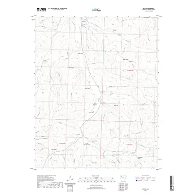
2020 Map of Witter
USGS Topo · Published 2020About this map
War Eagle Cr meanders through the heart of this Madison County landscape, carving a valley where the settlements of Aurora and Witter took root. The geography is defined by a dense network of named hollows and ridges, reflecting a deeply localized sense of place where every fold in the terrain—from Granny Paddin Hollow to Washy Hollow—carries a specific identity. Small family and community burial grounds, including Captain Smiths Cem and Jackson Creek Cem, are scattered across the uplands, providing essential touchpoints for genealogical research in this rural Arkansas corridor.
Find a feature on this map
83 named features on this map. Tap any name to fly to it.
Don’t see what you’re looking for? This feature index may not catch every label — zoom into the map to look around manually.
Map Details
Editions of this 2020 Witter Map
This is the sole edition of this map. No revisions or reprints were ever made.
Other maps of this area

1900 · Eureka Springs
USGS Topo · 1:125,000

1901 · Eureka Springs
USGS Topo · 1:125,000

1943 · St. Paul
USGS Topo · 1:62,500

1945 · Harrison
USGS Topo · 1:250,000

1946 · St. Paul
USGS Topo · 1:62,500

1949 · Harrison
USGS Topo · 1:250,000

1954 · Harrison
USGS Topo · 1:250,000

1956 · Russellville
USGS Topo · 1:250,000

1958 · Harrison
USGS Topo · 1:250,000

1964 · Russellville
USGS Topo · 1:250,000