
1960 Map of Wizard Wells
USGS Topo · Published 1961About this map
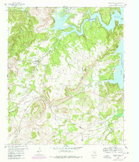
Wizard Wells stands as a focal point in this 1960 landscape, marking a period of transition in northeastern Jack County. The area is characterized by the expanding waters of Lake Bridgeport, which creates a complex shoreline including Steele Island and multiple inlets along the eastern boundary. The presence of numerous Gas Well and Oil Well symbols throughout the quadrangle illustrates the mid-century energy boom, with a vast network of pipelines crisscrossing the terrain between local settlements like Vineyard.
Find a feature on this map
23 named features on this map. Tap any name to fly to it.
Don’t see what you’re looking for? This feature index may not catch every label — zoom into the map to look around manually.
Map Details
Editions of this 1960 Wizard Wells Map
2 editions found
Other maps of this area

1954 · Sherman
USGS Topo · 1:250,000

1954 · Wichita Falls
USGS Topo · 1:250,000

1958 · Wichita Falls
USGS Topo · 1:250,000

1958 · Sherman
USGS Topo · 1:250,000

1960 · Bridgeport West
USGS Topo · 1:24,000

1960 · Gibtown
USGS Topo · 1:24,000
1960 · Boonsville
USGS Topo · 1:24,000
1961 · Perrin
USGS Topo · 1:24,000

1961 · Jacksboro NE
USGS Topo · 1:24,000

1961 · Crafton
USGS Topo · 1:24,000