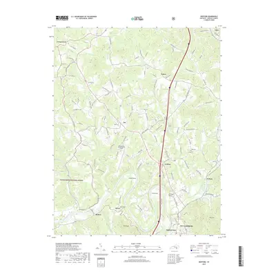
2019 Map of Wofford
USGS Topo · Published 2019About this map
The Cumberland River carves deep loops through the landscape of Whitley County, creating prominent landforms like Prewitt Bend and Croley Bend. This modern topographic survey shows the northern reaches of Williamsburg, where the city edge meets the dense woodlands of the Daniel Boone National Forest. Transport infrastructure defines much of the area, from the Williamsburg-Whitley County Airport to the rural corridor of State Hwy 204. Smaller communities such as Goldbug, Clio, and Walden are scattered along the ridgelines and creek valleys. For genealogists, the map is particularly useful for locating several small family burial grounds, including Youngs Cem, Sutton Cem, and Steely Cem, which are tucked away on private land and side roads far from the main highway.
Find a feature on this map
106 named features on this map. Tap any name to fly to it.
Don’t see what you’re looking for? This feature index may not catch every label — zoom into the map to look around manually.
Map Details
Editions of this 2019 Wofford Map
This is the sole edition of this map. No revisions or reprints were ever made.
Other maps of this area

1890 · Williamsburg
USGS Topo · 1:125,000

1894 · Williamsburg
USGS Topo · 1:125,000

1952 · Corbin
USGS Topo · 1:24,000

1952 · Wofford
USGS Topo · 1:24,000

1952 · Vox
USGS Topo · 1:24,000

1952 · Saxton
USGS Topo · 1:24,000

1952 · Hollyhill
USGS Topo · 1:24,000

1952 · Rockholds
USGS Topo · 1:24,000

1952 · Cumberland Falls
USGS Topo · 1:24,000

1952 · Williamsburg
USGS Topo · 1:24,000