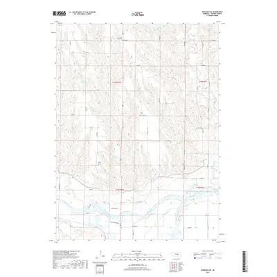
2017 Map of Wolbach SW
USGS Topo · Published 2017About this map
The confluence where the North Loup River and Middle Loup River join to form the Loup River anchors this corner of Howard County. This landscape is defined by the hydrologic movement through the valley, where smaller tributaries like Cady Cr and Lake Cr drain the surrounding loess hills. Local history is etched into the township lines of t15n r10w and t16n r9w, where three distinct burial grounds—Saint Peter Cem, North Cem, and Logan Cem—remain as markers of the area's rural settlement. Human engineering is visible in several water storage sites including Kolar Reservoir and Miller Reservoir, while the section-line road network of Jansen Rd and Friend Rd maintains the traditional gridded footprint of the Great Plains.
Find a feature on this map
36 named features on this map. Tap any name to fly to it.
Don’t see what you’re looking for? This feature index may not catch every label — zoom into the map to look around manually.
Map Details
Editions of this 2017 Wolbach SW Map
This is the sole edition of this map. No revisions or reprints were ever made.
Other maps of this area

1899 · Loup
USGS Topo · 1:125,000

1899 · St. Paul
USGS Topo · 1:125,000

1953 · Scotia NE
USGS Topo · 1:24,000

1953 · Nysted
USGS Topo · 1:24,000

1953 · Elba
USGS Topo · 1:24,000

1954 · Wolbach
USGS Topo · 1:24,000

1954 · Wolbach NE
USGS Topo · 1:24,000

1955 · Broken Bow
USGS Topo · 1:250,000

1955 · Wolbach SW
USGS Topo · 1:24,000

1955 · Cushing
USGS Topo · 1:24,000