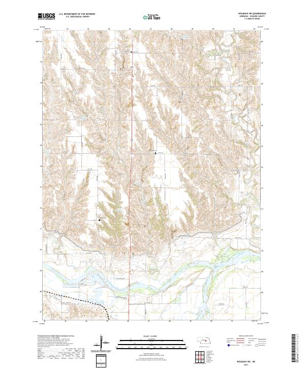
2021 Map of Wolbach SW
USGS Topo · Published 2021About this map
The North Loup River and Middle Loup River converge in the southern reaches of this Howard County landscape, forming the main stem of the Loup River. This hydrologic junction defines the local geography, creating a wide valley floor filled with braided channels and shifting sandbars. To the north, the terrain transitions into dissected uplands marked by a network of drainage creeks, including Cady Cr and Spring Cr, which have been utilized for local water management as seen at Petersen Reservoir and Kolar Reservoir.
Find a feature on this map
37 named features on this map. Tap any name to fly to it.
Don’t see what you’re looking for? This feature index may not catch every label — zoom into the map to look around manually.
Map Details
Editions of this 2021 Wolbach SW Map
This is the sole edition of this map. No revisions or reprints were ever made.
Other maps of this area

1899 · Loup
USGS Topo · 1:125,000

1899 · St. Paul
USGS Topo · 1:125,000

1953 · Scotia NE
USGS Topo · 1:24,000

1953 · Nysted
USGS Topo · 1:24,000

1953 · Elba
USGS Topo · 1:24,000

1954 · Wolbach
USGS Topo · 1:24,000

1954 · Wolbach NE
USGS Topo · 1:24,000

1955 · Broken Bow
USGS Topo · 1:250,000

1955 · Wolbach SW
USGS Topo · 1:24,000

1955 · Cushing
USGS Topo · 1:24,000