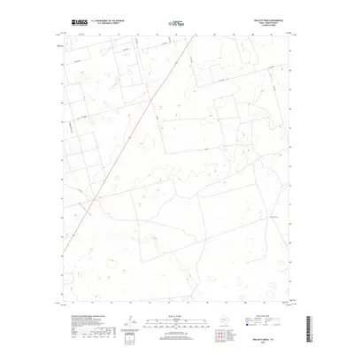
2019 Map of Wolcott Ranch
USGS Topo · Published 2019About this map
Wolcott Ranch serves as the primary landmark in this section of Martin County, where the landscape is defined by the ephemeral drainage patterns of the Llano Estacado. The terrain is marked by the distinct channels of Mustang Draw and McKenzie Draw, which dictate the local topography and historical movement across the plains. These draws are characteristic of the region, where water flow is infrequent but has carved noticeable paths through the dry West Texas earth over time.
Find a feature on this map
13 named features on this map. Tap any name to fly to it.
Don’t see what you’re looking for? This feature index may not catch every label — zoom into the map to look around manually.
Map Details
Editions of this 2019 Wolcott Ranch Map
This is the sole edition of this map. No revisions or reprints were ever made.
Other maps of this area

1954 · Hobbs
USGS Topo · 1:250,000

1954 · Big Spring
USGS Topo · 1:250,000

1958 · Big Spring
USGS Topo · 1:250,000

1958 · Hobbs
USGS Topo · 1:250,000

1966 · Wolcott Ranch
USGS Topo · 1:24,000

1966 · Lenorah West
USGS Topo · 1:24,000

1966 · Flynt Ranch
USGS Topo · 1:24,000

1966 · Flower Grove
USGS Topo · 1:24,000

1966 · Scharbauer Ranch
USGS Topo · 1:24,000

1966 · Bird Ranch
USGS Topo · 1:24,000