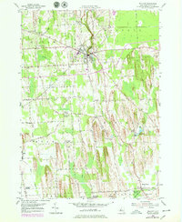
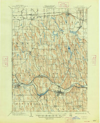
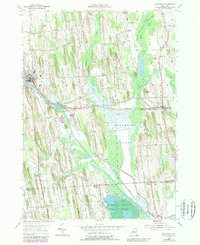
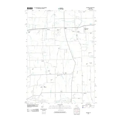
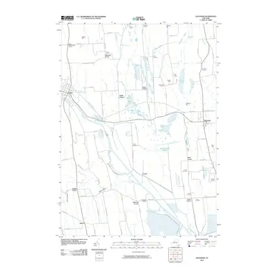
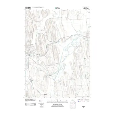
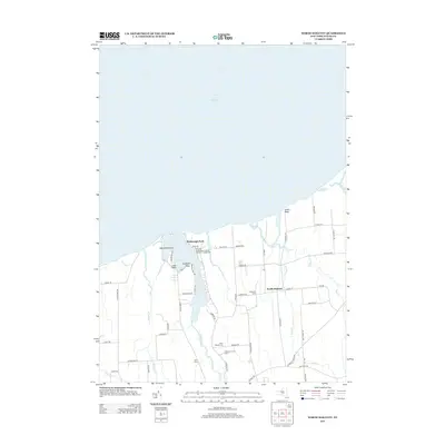
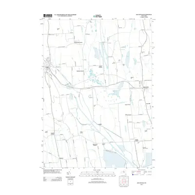
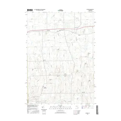
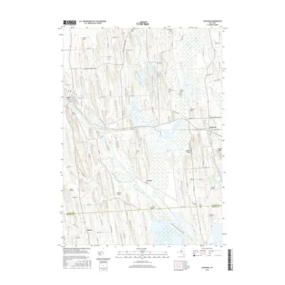
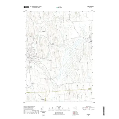
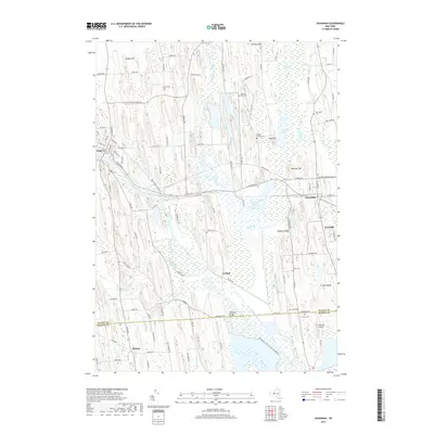
1953 Map of Wolcott
USGS Topo · Published 1979About this map
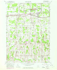
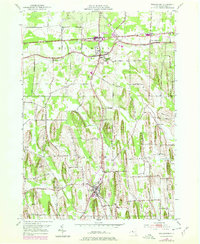
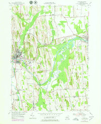
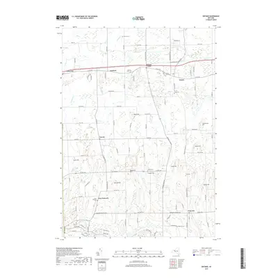
Wolcott serves as the central hub of this agricultural landscape in Wayne County, situated where the waters of Wolcott Creek flow toward the north. The area's mid-century character is defined by a dense network of country roads like Whiskey Hill Road and Dutch Street Road, connecting small rural intersections such as Stewart Corners and Maunders Corners. Local industry and community life are grounded in landmarks like the Rice Mill and the Sunnyside Mission, while the map's terrain reveals the distinct glacial drumlins characteristic of the region, notably around Pinkney Hill.
Find a feature on this map
56 named features on this map. Tap any name to fly to it.
Don’t see what you’re looking for? This feature index may not catch every label — zoom into the map to look around manually.
Map Details
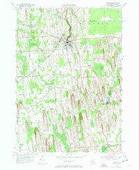
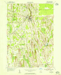
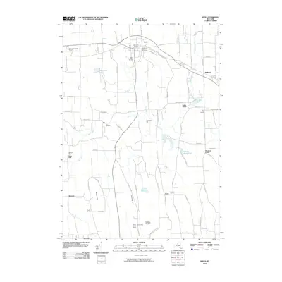
Editions of this 1953 Wolcott Map
3 editions found
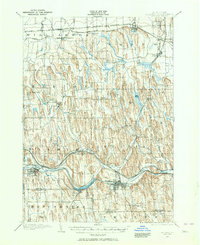
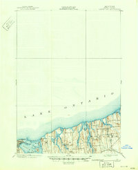
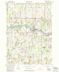
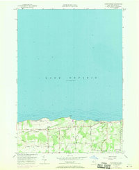
Historical Maps of Galen Through Time
84 maps found
1899 Palmyra
Wayne County, NY
1902 Palmyra
Wayne County, NY
1902 Sodus Bay
Wayne County, NY

1942 Ontario
Wayne County, NY

1943 Lyons
Wayne County, NY

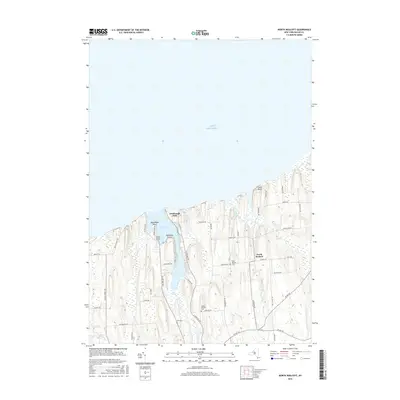
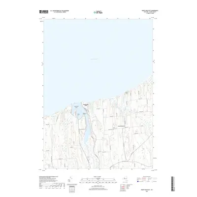
1943 North Wolcott
Wayne County, NY

1943 Palmyra
Wayne County, NY

1943 Rose
Wayne County, NY

1943 Savannah
Wayne County, NY

1943 Sodus
Wayne County, NY

1943 Williamson
Wayne County, NY

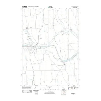
1943 Wolcott
Wayne County, NY
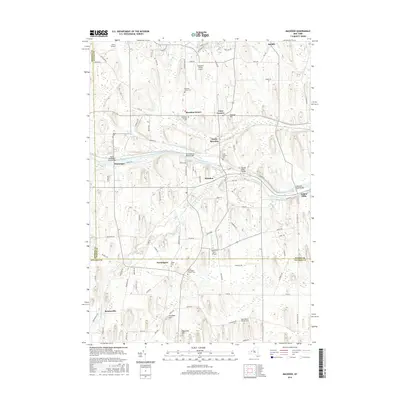
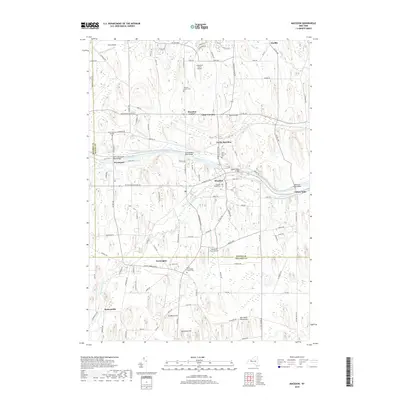
1951 Macedon
Wayne County, NY
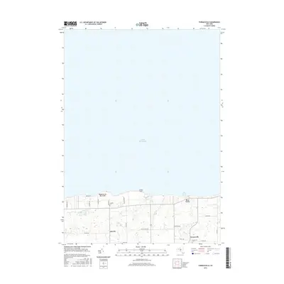
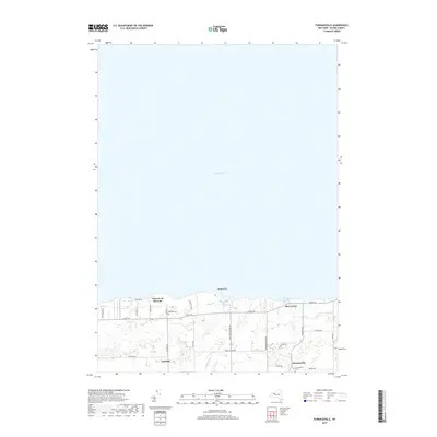
1952 Furnaceville
Wayne County, NY
1952 Ontario
Wayne County, NY
1952 Palmyra
Wayne County, NY
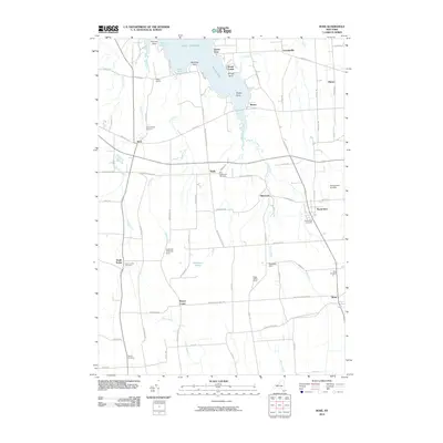
1952 Salmon Creek
Wayne County, NY
1952 Sodus
Wayne County, NY
1952 Williamson
Wayne County, NY
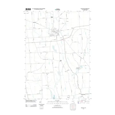
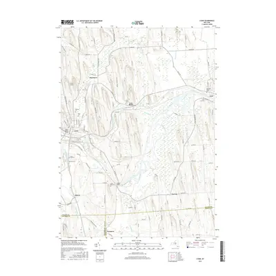
1953 Lyons
Wayne County, NY
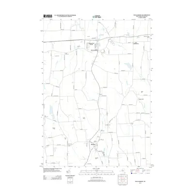
1953 North Wolcott
Wayne County, NY
1953 Rose
Wayne County, NY
1953 Savannah
Wayne County, NY
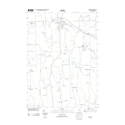
1953 Wolcott
Wayne County, NY
2010 Furnaceville
Wayne County, NY
2010 Macedon
Wayne County, NY
2010 North Wolcott
Wayne County, NY
2010 Ontario
Wayne County, NY
2010 Palmyra
Wayne County, NY
2010 Rose
Wayne County, NY
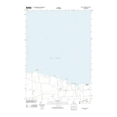
2010 Salmon Creek
Wayne County, NY
2010 Savannah
Wayne County, NY
2010 Sodus
Wayne County, NY
2010 Williamson
Wayne County, NY
2010 Wolcott
Wayne County, NY
2011 Lyons
Wayne County, NY
2013 Furnaceville
Wayne County, NY
2013 Lyons
Wayne County, NY
2013 Macedon
Wayne County, NY
2013 North Wolcott
Wayne County, NY
2013 Ontario
Wayne County, NY
2013 Palmyra
Wayne County, NY
2013 Rose
Wayne County, NY

2013 Salmon Creek
Wayne County, NY
2013 Savannah
Wayne County, NY
2013 Sodus
Wayne County, NY
2013 Williamson
Wayne County, NY
2013 Wolcott
Wayne County, NY
2016 Furnaceville
Wayne County, NY
2016 Lyons
Wayne County, NY
2016 Macedon
Wayne County, NY
2016 North Wolcott
Wayne County, NY
2016 Ontario
Wayne County, NY
2016 Palmyra
Wayne County, NY
2016 Rose
Wayne County, NY
2016 Salmon Creek
Wayne County, NY
2016 Savannah
Wayne County, NY
2016 Sodus
Wayne County, NY
2016 Williamson
Wayne County, NY
2016 Wolcott
Wayne County, NY
2019 Furnaceville
Wayne County, NY
2019 Lyons
Wayne County, NY
2019 Macedon
Wayne County, NY
2019 North Wolcott
Wayne County, NY
2019 Ontario
Wayne County, NY
2019 Palmyra
Wayne County, NY
2019 Rose
Wayne County, NY
2019 Salmon Creek
Wayne County, NY
2019 Savannah
Wayne County, NY
2019 Sodus
Wayne County, NY
2019 Williamson
Wayne County, NY
2019 Wolcott
Wayne County, NY

2023 Furnaceville
Wayne County, NY

2023 Lyons
Wayne County, NY

2023 Macedon
Wayne County, NY

2023 North Wolcott
Wayne County, NY

2023 Ontario
Wayne County, NY

2023 Palmyra
Wayne County, NY

2023 Rose
Wayne County, NY

2023 Salmon Creek
Wayne County, NY

2023 Savannah
Wayne County, NY

2023 Sodus
Wayne County, NY

2023 Williamson
Wayne County, NY

2023 Wolcott
Wayne County, NY