
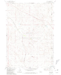
1980 Map of Wolf Butte
USGS Topo · Published 1981About this map
Oglala National Grassland dominates this landscape along the border of Dawes County, Nebraska, and Fall River County, South Dakota. This 1980 survey reveals a high-plains environment defined by essential water management for ranching and agriculture. The terrain is punctuated by distinctive landforms such as Wolf Butte, Strawstack Butte, and Pete Smith Hill, which provide vertical relief across the drainage basins of Horsehead Creek and Collingwood Creek.
Find a feature on this map
17 named features on this map. Tap any name to fly to it.
Don’t see what you’re looking for? This feature index may not catch every label — zoom into the map to look around manually.
Map Details
Editions of this 1980 Wolf Butte Map
This is the sole edition of this map. No revisions or reprints were ever made.
Other maps of this area

1896 · Oelrichs
USGS Topo · 1:125,000

1900 · Oelrichs
USGS Topo · 1:125,000

1902 · Edgemont
USGS Topo · 1:125,000

1955 · Hot Springs
USGS Topo · 1:250,000

1955 · Alliance
USGS Topo · 1:250,000

1957 · Alliance
USGS Topo · 1:250,000

1958 · Alliance
USGS Topo · 1:250,000

1980 · Horn
USGS Topo · 1:24,000

1980 · Lone Tree Ranch
USGS Topo · 1:24,000
1980 · Orella
USGS Topo · 1:24,000