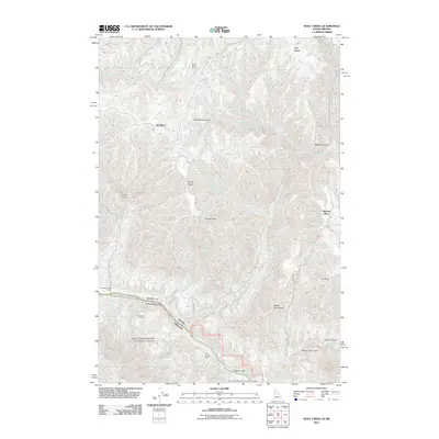
2011 Map of Wolf Creek
USGS Topo · Published 2011About this map
Snake River canyon walls and the surrounding high country define this portion of Idaho County, where the river carves through the landscape south of Ragtown Bar. The settlement pattern here is dictated by water and elevation, marked by isolated homesteads and outposts such as Spring Camp Ranch, Davidson, and Cat Creek Ranch. These sites, alongside names like Mexican Place and Dorrance Ranch, reflect the area's long-standing connection to ranching and seasonal river use.
Find a feature on this map
38 named features on this map. Tap any name to fly to it.
Don’t see what you’re looking for? This feature index may not catch every label — zoom into the map to look around manually.
Map Details
Editions of this 2011 Wolf Creek Map
This is the sole edition of this map. No revisions or reprints were ever made.
Other maps of this area

1954 · Kernan Point
USGS Topo · 1:62,500

1955 · Grangeville
USGS Topo · 1:250,000

1959 · Grangeville
USGS Topo · 1:250,000

1963 · Cactus Mtn
USGS Topo · 1:24,000

1963 · Boles
USGS Topo · 1:24,000

1963 · Rattlesnake Ridge
USGS Topo · 1:24,000

1963 · Moughmer Point
USGS Topo · 1:24,000

1963 · Joseph
USGS Topo · 1:24,000

1963 · Grave Point
USGS Topo · 1:24,000

1963 · Wolf Creek
USGS Topo · 1:24,000