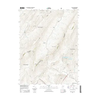
2014 Map of Wolf Gap
USGS Topo · Published 2014About this map
George Washington National Forest blankets this section of the Appalachian Mountains, where the state line between West Virginia and Virginia follows the high ridges. The landscape is defined by long, parallel ridges and deep valleys, most notably the Trout Run Valley which provides a corridor for small settlements like Perry and Rockland. This 2014 survey documents the complex topography of the region, including the massive Great North Mountain and the high-elevation Big Schloss overlook.
Find a feature on this map
64 named features on this map. Tap any name to fly to it.
Don’t see what you’re looking for? This feature index may not catch every label — zoom into the map to look around manually.
Map Details
Editions of this 2014 Wolf Gap Map
This is the sole edition of this map. No revisions or reprints were ever made.
Other maps of this area

1891 · Romney
USGS Topo · 1:125,000

1892 · Woodstock
USGS Topo · 1:125,000

1920 · Moorefield
USGS Topo · 1:62,500

1921 · Orkney Springs
USGS Topo · 1:48,000

1921 · Moorefield
USGS Topo · 1:48,000

1922 · Moorefield
USGS Topo · 1:62,500

1922 · Wardensville
USGS Topo · 1:62,500

1923 · Orkney Springs
USGS Topo · 1:62,500

1923 · Edinburg
USGS Topo · 1:62,500

1924 · Wardensville
USGS Topo · 1:62,500