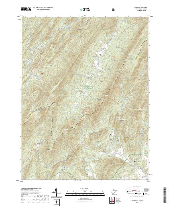
2023 Map of Wolf Gap
USGS Topo · Published 2023About this map
George Washington National Forest blankets the high ridges and steep hollows along the border of West Virginia and Virginia. This area is characterized by massive parallel ridgelines like Great North Mountain, Little Sluice Mtn, and Long Mtn. Settlement is concentrated in the narrow valleys, particularly along Trout Run near Perry and in the lower elevations of the eastern slope near Columbia Furnace. Local genealogy is well-documented through several family-named burial grounds, including the Strawderman Cem and Coffelt Maphis Cem. The landscape reflects a mix of recreation and utility, with the Woodstock Reservoir and Rockcliff Lake providing water and leisure, while landmarks like Ayers Airport and the Bethany Lutheran Church and Cem serve the rural community.
Find a feature on this map
92 named features on this map. Tap any name to fly to it.
Don’t see what you’re looking for? This feature index may not catch every label — zoom into the map to look around manually.
Map Details
Editions of this 2023 Wolf Gap Map
This is the sole edition of this map. No revisions or reprints were ever made.
Other maps of this area

1891 · Romney
USGS Topo · 1:125,000

1892 · Woodstock
USGS Topo · 1:125,000

1920 · Moorefield
USGS Topo · 1:62,500

1921 · Orkney Springs
USGS Topo · 1:48,000

1921 · Moorefield
USGS Topo · 1:48,000

1922 · Moorefield
USGS Topo · 1:62,500

1922 · Wardensville
USGS Topo · 1:62,500

1923 · Orkney Springs
USGS Topo · 1:62,500

1923 · Edinburg
USGS Topo · 1:62,500

1924 · Wardensville
USGS Topo · 1:62,500