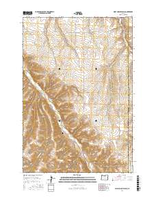
2017 Map of Wolf Hollow Falls
USGS Topo · Published 2017About this map
The high plateau of the Oregon-Morrow county line is defined by deeply incised drainage systems and remote grazing lands in this late-career topographical study. Centered on the rugged convergence of Rock Cr and its many seasonal tributaries, the landscape is a network of named canyons and hollows, including Cow Canyon and Eightmile Canyon. The inclusion of Flett Cem near Flett Rd provides a critical point of interest for genealogists tracing early families in this arid region.
Find a feature on this map
27 named features on this map. Tap any name to fly to it.
Don’t see what you’re looking for? This feature index may not catch every label — zoom into the map to look around manually.
Map Details
Editions of this 2017 Wolf Hollow Falls Map
This is the sole edition of this map. No revisions or reprints were ever made.
Other maps of this area

1906 · Blalock Island
USGS Topo · 1:125,000

1908 · Blalock Island
USGS Topo · 1:125,000

1916 · Arlington
USGS Topo · 1:125,000

1916 · Condon
USGS Topo · 1:125,000

1953 · Pendleton
USGS Topo · 1:250,000

1953 · The Dalles
USGS Topo · 1:250,000

1956 · The Dalles
USGS Topo · 1:250,000

1956 · Pendleton
USGS Topo · 1:250,000

1957 · The Dalles
USGS Topo · 1:250,000

1964 · Shutler Flat
USGS Topo · 1:24,000