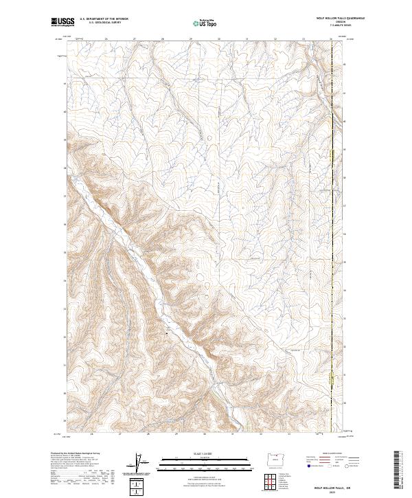
2023 Map of Wolf Hollow Falls
USGS Topo · Published 2023About this map
Flett Cem rests in the central uplands of this Gilliam County landscape, marking a site of genealogical significance amid a terrain defined by deep draws and high plateaus. The drainage network is anchored by Rock Creek, which snakes through the southern half of the quadrangle toward the namesake Wolf Hollow Falls. This area of the Columbia Plateau is characterized by its agricultural and ranching infrastructure, where long-established routes like Bunkerhill Rd and Ridge Rd follow the natural contours of the land to connect isolated homesteads. The eastern boundary is defined by the line between Gilliam Co and Morrow Co, cutting across Eightmile Canyon. The northwest corner features the Irby Reservoir, a critical water resource for the dry rangelands surrounding Spring Hollow.
Find a feature on this map
26 named features on this map. Tap any name to fly to it.
Don’t see what you’re looking for? This feature index may not catch every label — zoom into the map to look around manually.
Map Details
Editions of this 2023 Wolf Hollow Falls Map
This is the sole edition of this map. No revisions or reprints were ever made.
Other maps of this area

1906 · Blalock Island
USGS Topo · 1:125,000

1908 · Blalock Island
USGS Topo · 1:125,000

1916 · Arlington
USGS Topo · 1:125,000

1916 · Condon
USGS Topo · 1:125,000

1953 · Pendleton
USGS Topo · 1:250,000

1953 · The Dalles
USGS Topo · 1:250,000

1956 · The Dalles
USGS Topo · 1:250,000

1956 · Pendleton
USGS Topo · 1:250,000

1957 · The Dalles
USGS Topo · 1:250,000

1964 · Shutler Flat
USGS Topo · 1:24,000