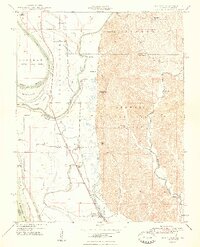
1948 Map of Wolf Lake
USGS Topo · Published 1948About this map
The Mississippi River creates a dynamic western boundary for this Illinois-Missouri borderlands survey, where industrial rail lines and intricate flood-control structures define the valley floor. The Illinois Central and Missouri Pacific railroads parallel the river, serving a string of small settlements like Aldridge, La Rue, and Wolf Lake. Land use is sharply divided by topography; the flat alluvial plains are protected by an extensive levee system and dotted with stagnant water bodies such as Otter Pond and Running Lake, while the eastern terrain rises abruptly into the Shawnee National Forest. This transition is marked by prominent landmarks like Government Rock and Pine Hills. Numerous small country schools, including Macedonia Sch and Beech Grove School, are scattered across the landscape, reflecting the distributed rural population of the late 1940s.
Find a feature on this map
40 named features on this map. Tap any name to fly to it.
Don’t see what you’re looking for? This feature index may not catch every label — zoom into the map to look around manually.
Map Details
Editions of this 1948 Wolf Lake Map
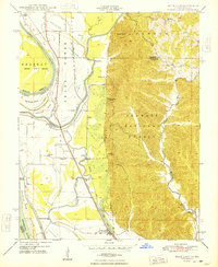
2 editions found
Other maps of this area

1918 · Altenburg
USGS Topo · 1:62,500

1920 · Jonesboro
USGS Topo · 1:62,500

1922 · Cape Girardeau
USGS Topo · 1:62,500

1923 · Jonesboro
USGS Topo · 1:62,500

1924 · Cape Girardeau
USGS Topo · 1:62,500

1924 · Alto Pass
USGS Topo · 1:62,500

1925 · Altenburg
USGS Topo · 1:62,500

1947 · Jonesboro
USGS Topo · 1:62,500

1947 · Alto Pass
USGS Topo · 1:62,500

1947 · Gorham
USGS Topo · 1:24,000