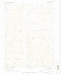
1971 Map of Wolf Mountain
USGS Topo · Published 1974About this map
Slippery Sides Mountain and the high ridges of Wolf Mountain define this Routt County landscape as it was documented in the early 1970s. The terrain is a network of steep drainages including Butcherknife Creek and Tow Creek, where the presence of the Franz Mine and Grey Mine points to the region's historical reliance on resource extraction.
Find a feature on this map
26 named features on this map. Tap any name to fly to it.
Don’t see what you’re looking for? This feature index may not catch every label — zoom into the map to look around manually.
Map Details
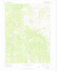
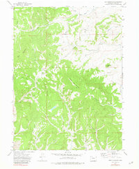
Editions of this 1971 Wolf Mountain Map
3 editions found
Other maps of this area

1911 · Hahns Peak
USGS Topo · 1:125,000

1913 · Hahns Peak
USGS Topo · 1:125,000

1923 · Pilot Knob
USGS Topo · 1:62,500

1924 · Mt. Harris
USGS Topo · 1:48,000

1925 · Pilot Knob
USGS Topo · 1:62,500

1926 · Mount Harris
USGS Topo · 1:62,500

1954 · Craig
USGS Topo · 1:250,000

1957 · Craig
USGS Topo · 1:250,000

1958 · Craig
USGS Topo · 1:250,000

1960 · Craig
USGS Topo · 1:250,000