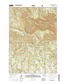
2014 Map of Wolf Mountain
USGS Topo · Published 2014About this map
Wolf Mountain rises at the center of this high-elevation landscape within the Ochoco National Forest, where the borders of Wheeler, Crook, and Grant counties converge. The terrain is defined by a dense network of springs and drainage systems, including the headwaters of Black Canyon Cr and Cottonwood Creek. Human intervention is most visible in the proliferation of small upland water storage sites, ranging from the Kelsey Reservoir in the northeast to the Robin Reservoir and Tamarack Butte Reservoir in the southwest. These features, along with names like Humphreys Pasture and Honeymoon Basin, suggest a history of seasonal grazing and forest management. A remote junction of canyons is found at Three Forks, where the topography drops significantly toward the eastern edge of the quadrangle.
Find a feature on this map
67 named features on this map. Tap any name to fly to it.
Don’t see what you’re looking for? This feature index may not catch every label — zoom into the map to look around manually.
Map Details
Editions of this 2014 Wolf Mountain Map
This is the sole edition of this map. No revisions or reprints were ever made.
Other maps of this area

1932 · Dayville
USGS Topo · 1:125,000

1936 · Dayville
USGS Topo · 1:125,000

1955 · Canyon City
USGS Topo · 1:250,000

1959 · Canyon City
USGS Topo · 1:250,000

1966 · Antone
USGS Topo · 1:24,000

1966 · Six Corners
USGS Topo · 1:24,000

1972 · Wolf Mountain
USGS Topo · 1:24,000

1972 · Day Basin
USGS Topo · 1:24,000
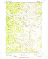
1972 · Aldrich Gulch
USGS Topo · 1:24,000
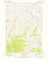
1972 · Dayville
USGS Topo · 1:24,000