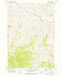
1972 Map of Dayville
USGS Topo · Published 1976About this map
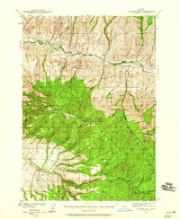
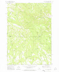
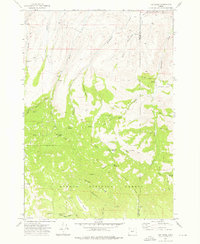
The confluence of the John Day River and South Fork Creek anchors the settlement of Dayville, a focal point for the ranching and timber geography of central Oregon in the early 1970s. This survey illustrates the intricate water management of the arid high country, marked by features such as the Nash Reservoir, Battle Creek Reservoir, and a Flume situated near South Fork Creek. The Dayville Cem serves as a significant genealogical marker for the community, while the surrounding terrain is etched with the names of early settlers and ranchers through landmarks like McNulty Basin Spring, Conner Spring, and McIntire Basin Spring.
Find a feature on this map
44 named features on this map. Tap any name to fly to it.
Don’t see what you’re looking for? This feature index may not catch every label — zoom into the map to look around manually.
Map Details
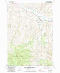
Editions of this 1972 Dayville Map
2 editions found
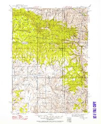
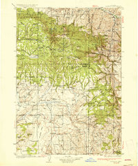
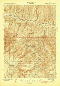
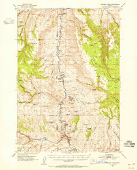
Other maps of this area
1932 · Dayville
USGS Topo · 1:125,000
1936 · Dayville
USGS Topo · 1:125,000
1940 · Aldrich Mtn.
USGS Topo · 1:62,500
1943 · Aldrich Mtn.
USGS Topo · 1:62,500
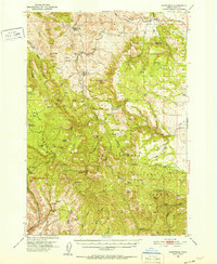
1951 · Courtrock
USGS Topo · 1:62,500
1953 · Picture
USGS Topo · 1:62,500

1955 · Canyon City
USGS Topo · 1:250,000

1959 · Canyon City
USGS Topo · 1:250,000
1972 · Wolf Mountain
USGS Topo · 1:24,000
1972 · Day Basin
USGS Topo · 1:24,000