
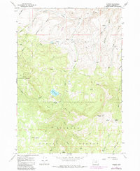
1966 Map of Antone
USGS Topo · Published 1968About this map
Antone and the small settlement of Pine sit at the intersection of high-desert canyons and timbered slopes in Wheeler County. This mid-1960s landscape shows a transition from ranching and mining at lower elevations to managed forest in the Ochoco National Forest. Resource extraction is evident through the Waterman Mine and Andrews Mine located near Spanish Gulch, while a localized cattle economy is marked by Erickson Ranch and Mascall Corrals.
Find a feature on this map
52 named features on this map. Tap any name to fly to it.
Don’t see what you’re looking for? This feature index may not catch every label — zoom into the map to look around manually.
Map Details
Editions of this 1966 Antone Map
2 editions found
Other maps of this area

1932 · Dayville
USGS Topo · 1:125,000

1936 · Dayville
USGS Topo · 1:125,000

1953 · Richmond
USGS Topo · 1:62,500

1953 · Picture
USGS Topo · 1:62,500

1955 · Canyon City
USGS Topo · 1:250,000

1959 · Canyon City
USGS Topo · 1:250,000
1966 · Derr Meadows
USGS Topo · 1:24,000

1966 · Little Summit Prairie
USGS Topo · 1:24,000

1966 · Six Corners
USGS Topo · 1:24,000

1972 · Wolf Mountain
USGS Topo · 1:24,000