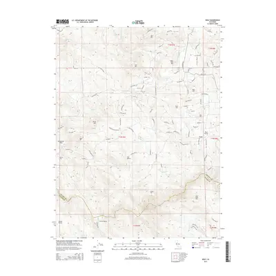
2015 Map of Wolf
USGS Topo · Published 2015About this map
Wolf lies near the eastern edge of this landscape where the terrain transitions toward the Sierra Nevada foothills. The area is defined by a complex network of waterways and early water-management infrastructure, including the Bear River at the southern boundary and man-made channels like Cole Ditch, Redinger Ditch, and Wolf Ditch. These ditches underscore the region's historical reliance on diverted water for mining or agriculture.
Find a feature on this map
100 named features on this map. Tap any name to fly to it.
Don’t see what you’re looking for? This feature index may not catch every label — zoom into the map to look around manually.
Map Details
Editions of this 2015 Wolf Map
This is the sole edition of this map. No revisions or reprints were ever made.
Other maps of this area

1888 · Smartsville
USGS Topo · 1:125,000

1891 · Sacramento
USGS Topo · 1:125,000

1891 · Smartsville
USGS Topo · 1:125,000

1892 · Sacramento
USGS Topo · 1:125,000

1892 · Smartsville
USGS Topo · 1:125,000

1893 · Sacramento
USGS Topo · 1:125,000

1894 · Smartsville
USGS Topo · 1:125,000

1895 · Smartsville
USGS Topo · 1:125,000

1910 · Lincoln
USGS Topo · 1:31,680

1915 · Spenceville
USGS Topo · 1:31,680