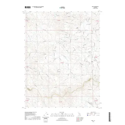
2018 Map of Wolf
USGS Topo · Published 2018About this map
The Bear River carves the southern boundary of this Sierra Nevada foothills landscape, separating Nevada and Placer counties. The settlement of Wolf sits at the eastern edge of the quadrangle, while Austin Flat lies to the west, connected by a network of rural roads such as Mcourtney Rd and Garden Bar Rd. The terrain is defined by a series of prominent peaks including Bald Mtn, Iron Mtn, and Sugar Loaf Mtn.
Find a feature on this map
118 named features on this map. Tap any name to fly to it.
Don’t see what you’re looking for? This feature index may not catch every label — zoom into the map to look around manually.
Map Details
Editions of this 2018 Wolf Map
This is the sole edition of this map. No revisions or reprints were ever made.
Other maps of this area

1888 · Smartsville
USGS Topo · 1:125,000

1891 · Sacramento
USGS Topo · 1:125,000

1891 · Smartsville
USGS Topo · 1:125,000

1892 · Sacramento
USGS Topo · 1:125,000

1892 · Smartsville
USGS Topo · 1:125,000

1893 · Sacramento
USGS Topo · 1:125,000

1894 · Smartsville
USGS Topo · 1:125,000

1895 · Smartsville
USGS Topo · 1:125,000

1910 · Lincoln
USGS Topo · 1:31,680

1915 · Spenceville
USGS Topo · 1:31,680