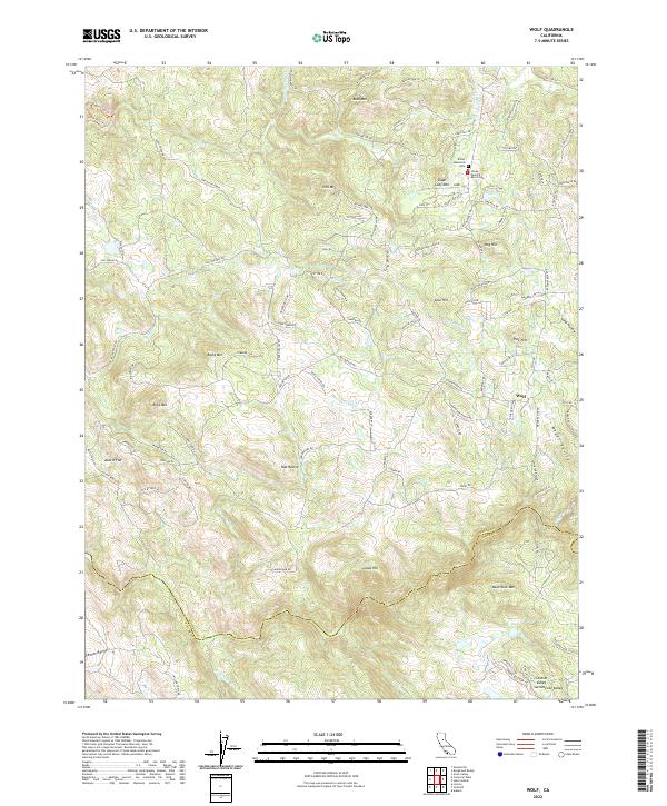
2022 Map of Wolf
USGS Topo · Published 2022About this map
Wolf sits at the center of this terrain where the foothills of the Sierra Nevada meet the Central Valley Sacramento Valley. The landscape is defined by a complex network of historic water management features, including the Cole Ditch, Redinger Ditch, and Wolf Ditch, which trace the contours of the hillsides to support local agriculture and mining interests. Family names are deeply embedded in the geography, seen in landmarks like the Elster Memorial Cem and Loney-Sanford Ranch Cem.
Find a feature on this map
115 named features on this map. Tap any name to fly to it.
Don’t see what you’re looking for? This feature index may not catch every label — zoom into the map to look around manually.
Map Details
Editions of this 2022 Wolf Map
This is the sole edition of this map. No revisions or reprints were ever made.
Other maps of this area

1888 · Smartsville
USGS Topo · 1:125,000

1891 · Sacramento
USGS Topo · 1:125,000

1891 · Smartsville
USGS Topo · 1:125,000

1892 · Sacramento
USGS Topo · 1:125,000

1892 · Smartsville
USGS Topo · 1:125,000

1893 · Sacramento
USGS Topo · 1:125,000

1894 · Smartsville
USGS Topo · 1:125,000

1895 · Smartsville
USGS Topo · 1:125,000

1910 · Lincoln
USGS Topo · 1:31,680

1915 · Spenceville
USGS Topo · 1:31,680