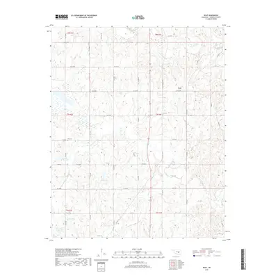
2018 Map of Wolf
USGS Topo · Published 2018About this map
The small settlement of Wolf serves as the focal point for this landscape in Seminole County, where the terrain is defined by the winding course of the Little River and several tributary systems. For genealogists and local historians, the area is notable for its numerous family and community burial sites, including Wolf Cem, Harjo Cem, Dora Cem, and Moppin Cem. These landmarks are scattered across a countryside marked by a grid of rural roads like Ew 1330 RD and Old State HWY 99.
Find a feature on this map
38 named features on this map. Tap any name to fly to it.
Don’t see what you’re looking for? This feature index may not catch every label — zoom into the map to look around manually.
Map Details
Editions of this 2018 Wolf Map
This is the sole edition of this map. No revisions or reprints were ever made.
Other maps of this area

1896 · Seminole and Prague
USGS Topo · 1:125,000

1901 · Stonewall
USGS Topo · 1:125,000

1907 · Maud
USGS Topo · 1:62,500

1908 · Maud
USGS Topo · 1:62,500

1954 · Oklahoma City
USGS Topo · 1:250,000

1957 · Ardmore
USGS Topo · 1:250,000

1957 · Oklahoma City
USGS Topo · 1:250,000

1958 · Sasakwa
USGS Topo · 1:24,000

1958 · Vamoosa
USGS Topo · 1:24,000

1958 · Konawa
USGS Topo · 1:24,000