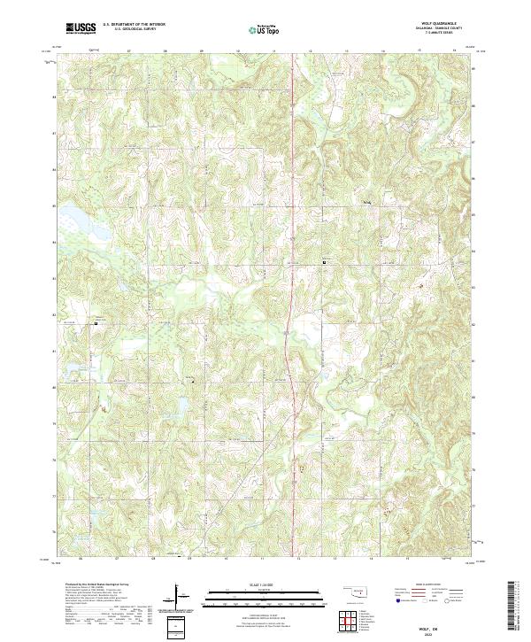
2022 Map of Wolf
USGS Topo · Published 2022About this map
The small settlement of Wolf serves as the central focal point of this Seminole County landscape, where the Little River and Salt Cr dominate the local topography. This modern survey illustrates a rural terrain defined by a series of flood control structures, including the Salt Cr Site 42 Reservoir and Salt Cr Site 49 Reservoir, which manage the watershed between the river and Mud Cr. Genealogists will find significant value in the distribution of family and community burial sites, from the centrally located Wolf Cem to the outlying Ishlum-Harjo Cem, Dora Cem, and Moppin Cem. The map reveals a highly structured grid of section-line roads, such as Old Hwy 99 and EW 1350 Rd, which connect these small rural pockets across the varying elevations of the t7n r6e and t7n r5e townships.
Find a feature on this map
37 named features on this map. Tap any name to fly to it.
Don’t see what you’re looking for? This feature index may not catch every label — zoom into the map to look around manually.
Map Details
Editions of this 2022 Wolf Map
This is the sole edition of this map. No revisions or reprints were ever made.
Other maps of this area

1896 · Seminole and Prague
USGS Topo · 1:125,000

1901 · Stonewall
USGS Topo · 1:125,000

1907 · Maud
USGS Topo · 1:62,500

1908 · Maud
USGS Topo · 1:62,500

1954 · Oklahoma City
USGS Topo · 1:250,000

1957 · Ardmore
USGS Topo · 1:250,000

1957 · Oklahoma City
USGS Topo · 1:250,000

1958 · Sasakwa
USGS Topo · 1:24,000

1958 · Vamoosa
USGS Topo · 1:24,000

1958 · Konawa
USGS Topo · 1:24,000