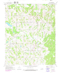
1972 Map of Wolf
USGS Topo · Published 1979About this map
The petroleum industry defines the rural landscape of Seminole County in the early 1970s, as evidenced by the extensive Wolf Field and Konawa Oil Field. Numerous oil wells and the Cold Springs Oil site are scattered across the terrain, illustrating the region's economic backbone during this era. The small settlement of Wolf serves as a local hub, while the Atchison Topeka and Santa Fe railroad corridor cuts through the southwestern corner, connecting these oil-rich lands to broader markets.
Find a feature on this map
18 named features on this map. Tap any name to fly to it.
Don’t see what you’re looking for? This feature index may not catch every label — zoom into the map to look around manually.
Map Details
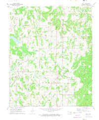
Editions of this 1972 Wolf Map
2 editions found
Other maps of this area

1896 · Seminole and Prague
USGS Topo · 1:125,000

1901 · Stonewall
USGS Topo · 1:125,000

1907 · Maud
USGS Topo · 1:62,500

1908 · Maud
USGS Topo · 1:62,500

1954 · Oklahoma City
USGS Topo · 1:250,000

1957 · Ardmore
USGS Topo · 1:250,000

1957 · Oklahoma City
USGS Topo · 1:250,000

1958 · Sasakwa
USGS Topo · 1:24,000

1958 · Vamoosa
USGS Topo · 1:24,000

1958 · Konawa
USGS Topo · 1:24,000