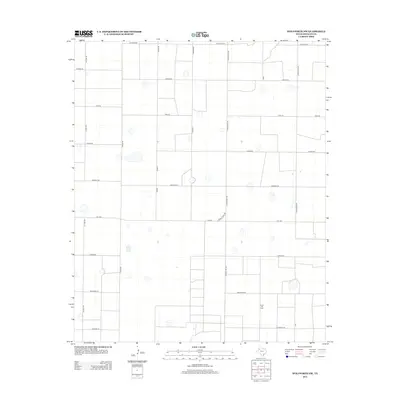
2012 Map of Wolfforth NW
USGS Topo · Published 2012About this map
The Smyer Oil Field dominates the southern landscape of this Hockley County quadrangle, illustrating the industrial character of the Llano Estacado. The terrain is organized by a rigid grid of rural routes, including state-maintained Fm-1294 and county thoroughfares such as N Ranch Rd 168 and Gaines RD. These roads, often named after distant states or local landmarks like Onion Shed Rd, reflect the systematic settlement and agricultural partitioning of the High Plains. Small depressions and scattered water features punctuate the dry landscape between major crossings like Fisher Rd and Hawaii Rd, providing a detailed look at the hydrology and land use patterns of West Texas in the early twenty-first century.
Find a feature on this map
21 named features on this map. Tap any name to fly to it.
Don’t see what you’re looking for? This feature index may not catch every label — zoom into the map to look around manually.
Map Details
Editions of this 2012 Wolfforth NW Map
This is the sole edition of this map. No revisions or reprints were ever made.
Other maps of this area

1954 · Brownfield
USGS Topo · 1:250,000

1957 · Anton
USGS Topo · 1:62,500

1957 · Wolfforth
USGS Topo · 1:62,500

1958 · Brownfield
USGS Topo · 1:250,000

1962 · Brownfield
USGS Topo · 1:250,000

1964 · Lums Chapel
USGS Topo · 1:24,000

1964 · Whitharral
USGS Topo · 1:24,000

1965 · Levelland East
USGS Topo · 1:24,000
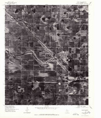
1976 · Anton SW
USGS Topo · 1:24,000
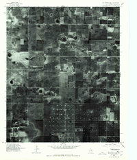
1976 · Wolfforth NW
USGS Topo · 1:24,000