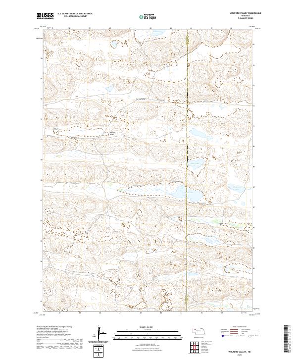
2021 Map of Wolford Valley
USGS Topo · Published 2021About this map
Wolford Valley and the surrounding high plains of the Nebraska Sandhills are defined by an intricate network of interdunal basins and ephemeral water bodies. This 2021 survey documents the remote borderland between Sheridan and Cherry counties, where seasonal lakes like Bean Soup Lake and Big Dad Lake dot the landscape. The region's cattle ranching heritage is evidenced by a system of private and range roads, including the prominent King Ranch Rd and Spade Ranch Rd.
Find a feature on this map
23 named features on this map. Tap any name to fly to it.
Don’t see what you’re looking for? This feature index may not catch every label — zoom into the map to look around manually.
Map Details
Editions of this 2021 Wolford Valley Map
This is the sole edition of this map. No revisions or reprints were ever made.
Other maps of this area

1948 · Ashby
USGS Topo · 1:62,500

1948 · Bingham
USGS Topo · 1:62,500

1948 · Spade Ranch
USGS Topo · 1:62,500

1949 · Ashby
USGS Topo · 1:62,500

1949 · Turpin Lake
USGS Topo · 1:62,500

1950 · Spade Ranch
USGS Topo · 1:62,500

1950 · Bingham
USGS Topo · 1:62,500

1951 · Turpin Lake
USGS Topo · 1:62,500

1955 · Alliance
USGS Topo · 1:250,000

1957 · Alliance
USGS Topo · 1:250,000