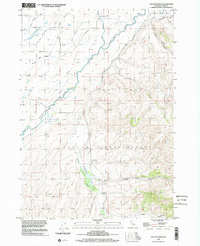
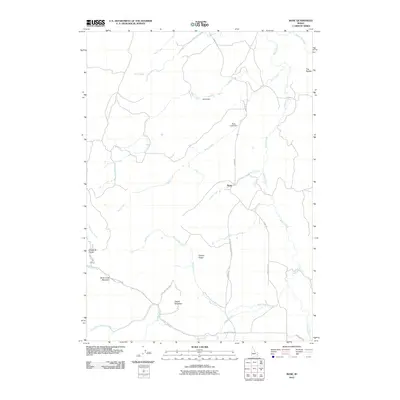
1981 Map of Wolverine
USGS Topo · Published 1981About this map
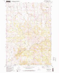
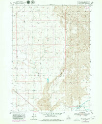
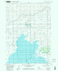
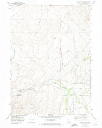
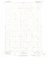
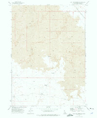
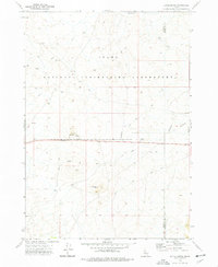
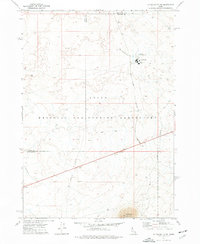
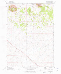
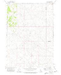
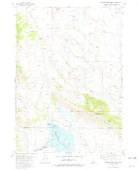
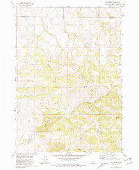
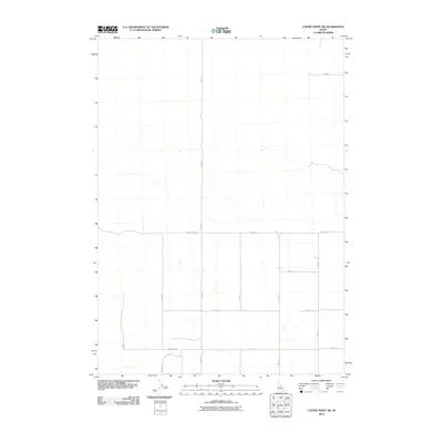
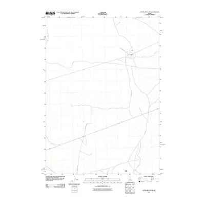
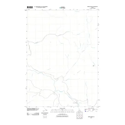
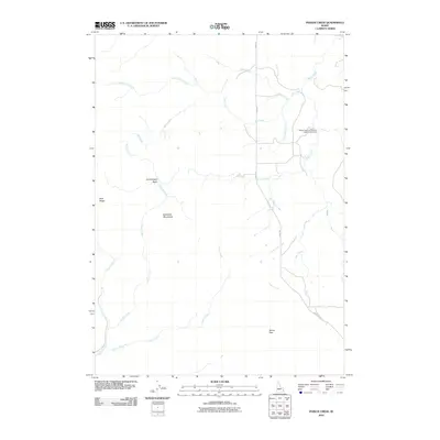
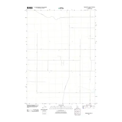
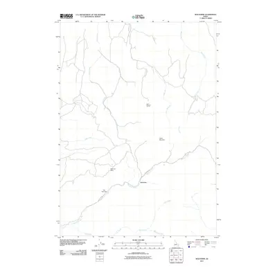
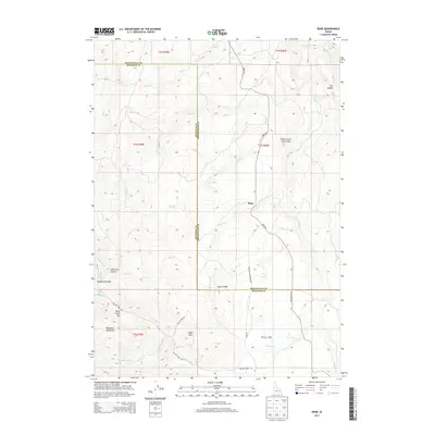
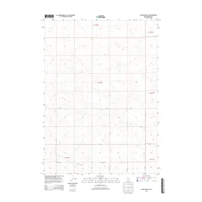
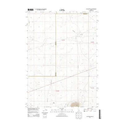
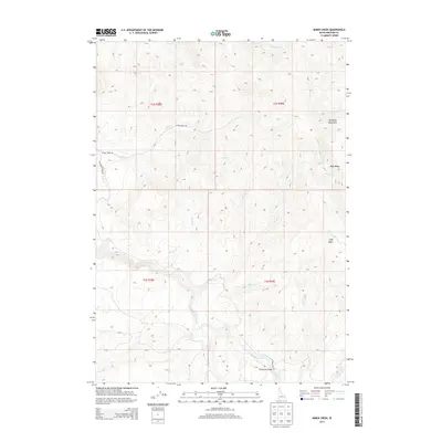
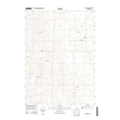
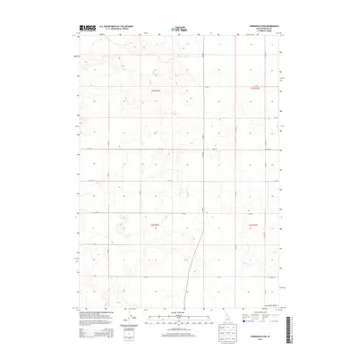
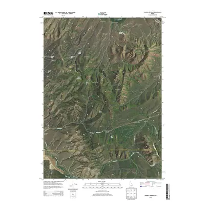
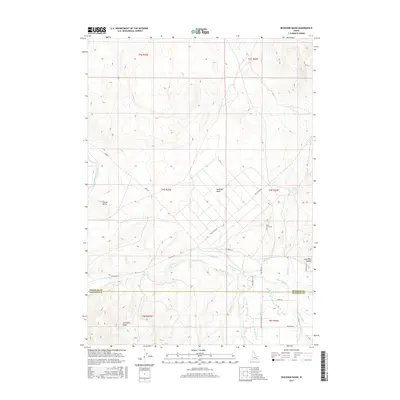
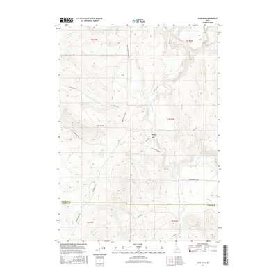
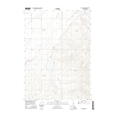
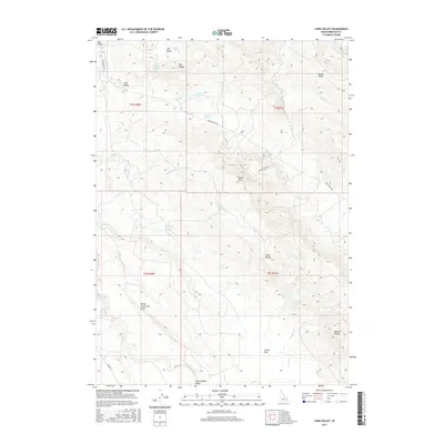
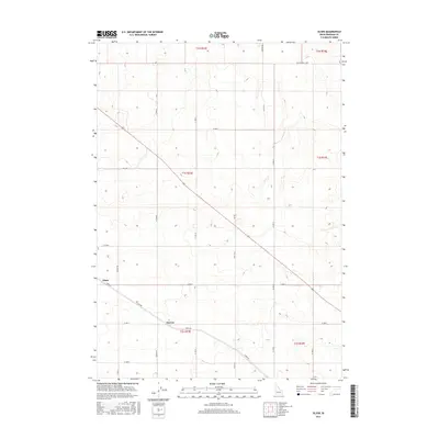
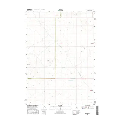
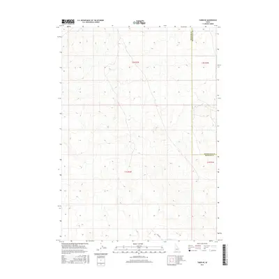
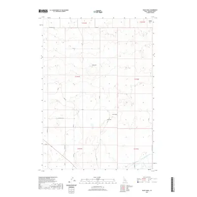
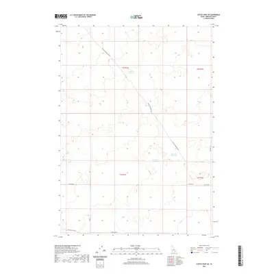
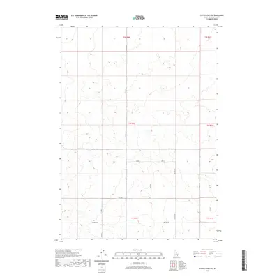
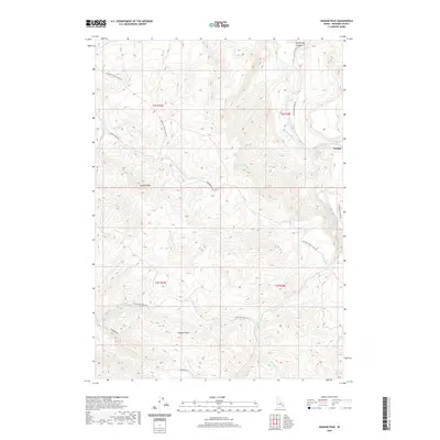
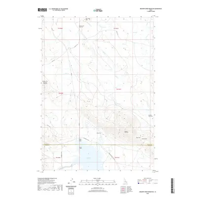
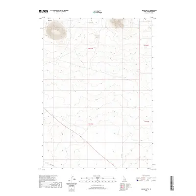
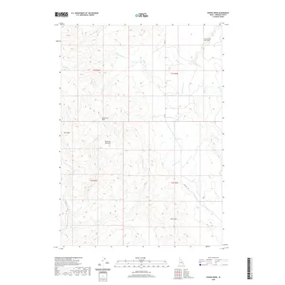
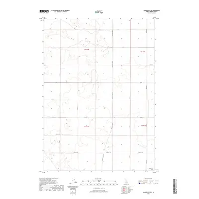
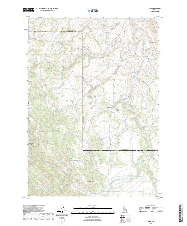
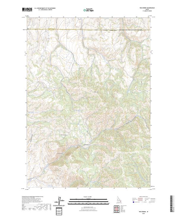
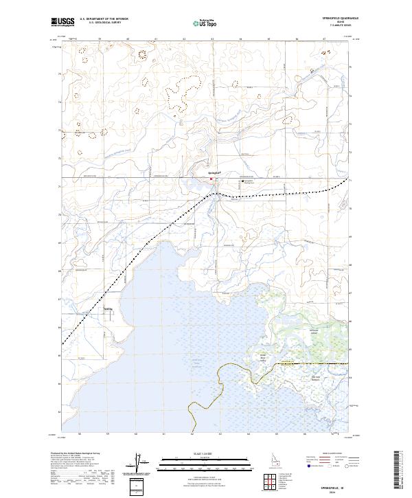
Wolverine sits amidst the prominent ridges of the Blackfoot Mts in Bingham County, Idaho, where the landscape is defined by its deep basins and seasonal drainages. This 1981 survey reveals a territory primarily shaped by water and topography, with Wolverine Basin and Saw Log Basin serving as natural collection points for numerous mountain springs. The drainage network is complex, featuring the rugged passage of The Narrows along Wolverine Creek, and the diverging paths of Henry Creek and its tributary, Dry Fork Henry Creek. These watercourses carve through the high terrain dominated by Taylor Mountain, where a solitary Radio Facility and a Storage Bin mark the few signs of modern infrastructure. For those tracking the geography of southeastern Idaho, the map details many local landmarks like Five Pine Canyon and Rattlesnake Canyon, as well as the southern boundary of Bonneville Co Bingham Co following the Base Line.
Find a feature on this map
26 named features on this map. Tap any name to fly to it.
Don’t see what you’re looking for? This feature index may not catch every label — zoom into the map to look around manually.
Map Details
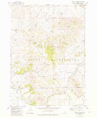
Editions of this 1981 Wolverine Map
2 editions found
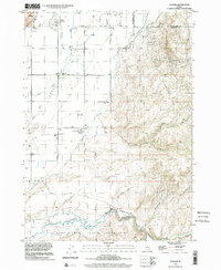
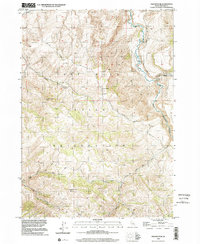
Historical Maps of Wolverine Through Time
199 maps found
1917 Cranes Flat
Bingham County, ID
1918 Paradise Valley
Bingham County, ID

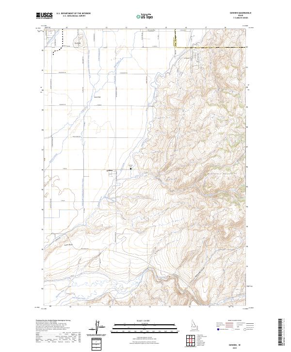
1950 Goshen
Bingham County, ID
1951 Higham Peak
Bingham County, ID

1952 Goshen
Bingham County, ID
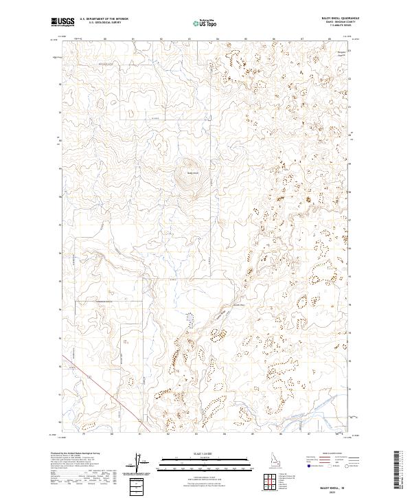
1955 Baldy Knoll
Bingham County, ID
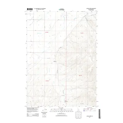
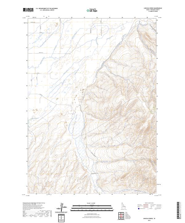
1955 Lincoln Creek
Bingham County, ID
1955 Pingree
Bingham County, ID
1955 Rose
Bingham County, ID
1955 Springfield
Bingham County, ID
1955 Springfield NW
Bingham County, ID

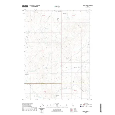
1955 Yandell Springs
Bingham County, ID
1963 Bone
Bingham County, ID
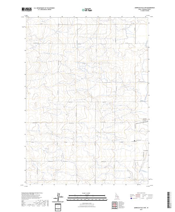
1971 American Falls NW
Bingham County, ID
1971 Buckskin Basin
Bingham County, ID
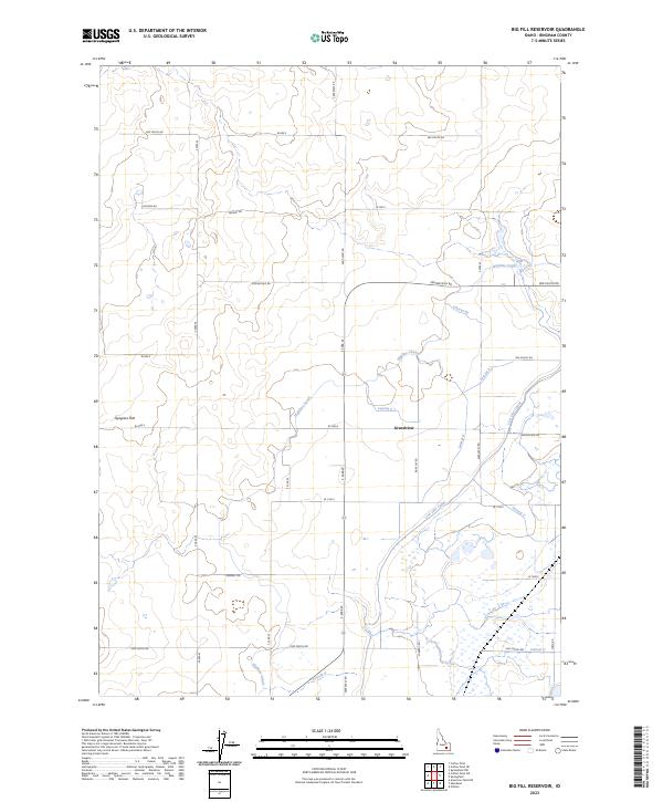
1973 Big Fill Reservoir
Bingham County, ID
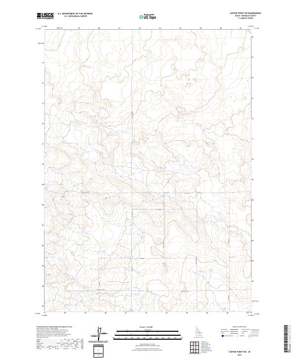
1973 Coffee Point
Bingham County, ID
1973 Coffee Point NE
Bingham County, ID
1973 Coffee Point SW
Bingham County, ID
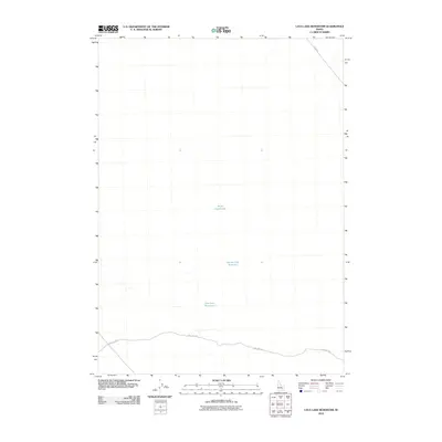
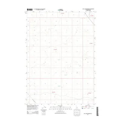
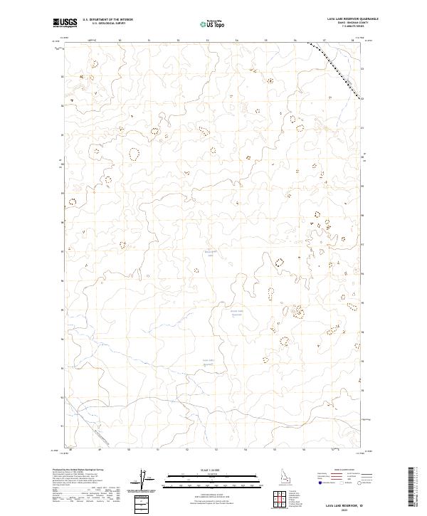
1973 Lava Lake Reservoir
Bingham County, ID
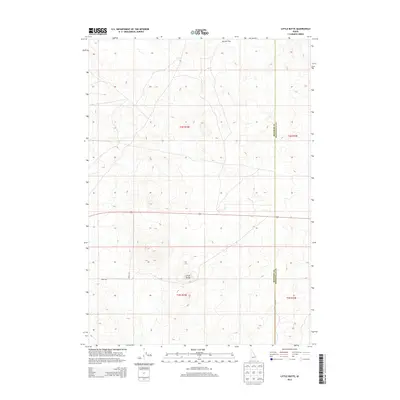
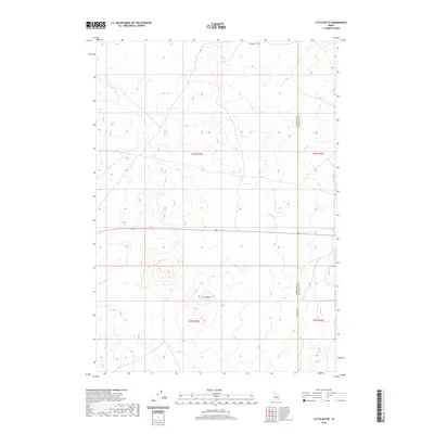
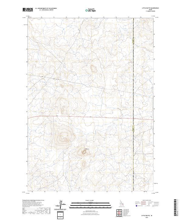
1973 Little Butte
Bingham County, ID
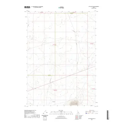
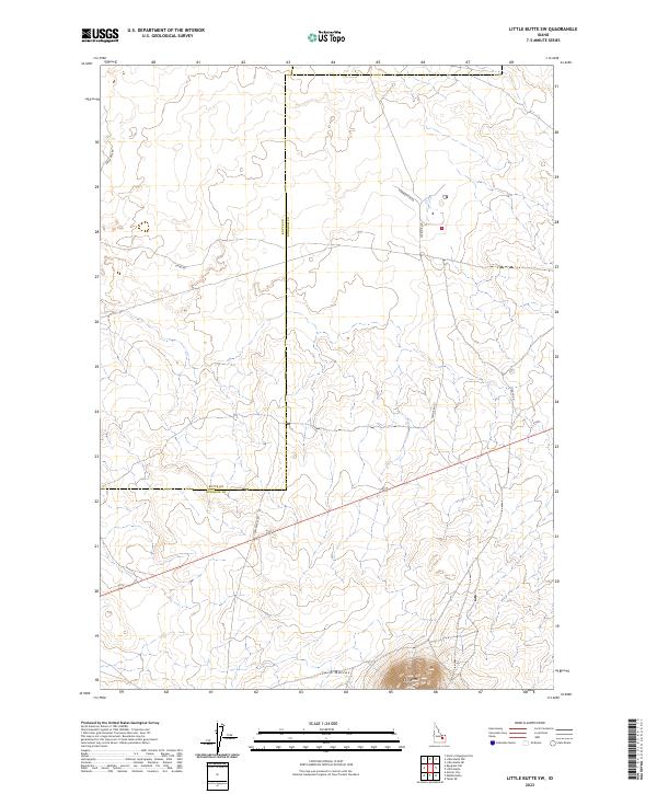
1973 Little Butte SW
Bingham County, ID
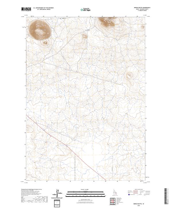
1973 Middle Butte
Bingham County, ID
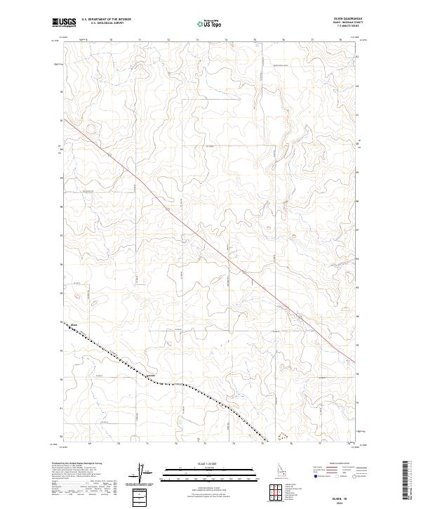
1973 Olsen
Bingham County, ID
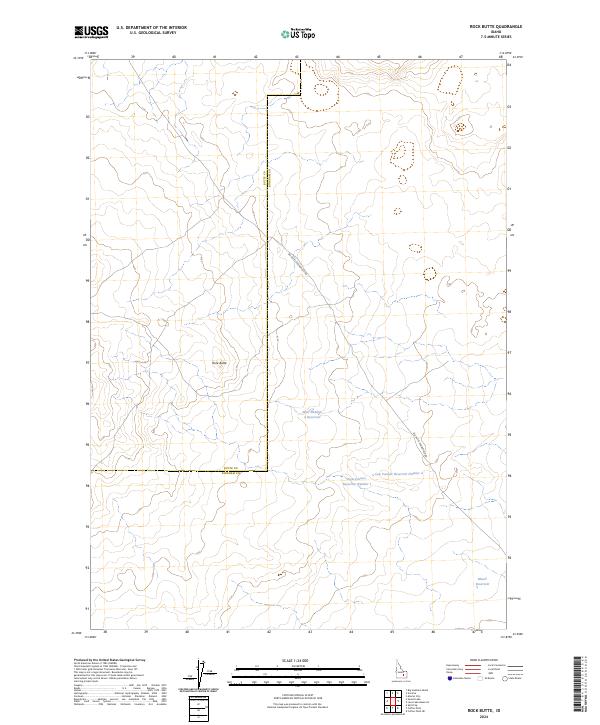
1973 Rock Butte
Bingham County, ID
1973 Taber
Bingham County, ID
1973 Taber NE
Bingham County, ID
1981 Dunn Basin
Bingham County, ID
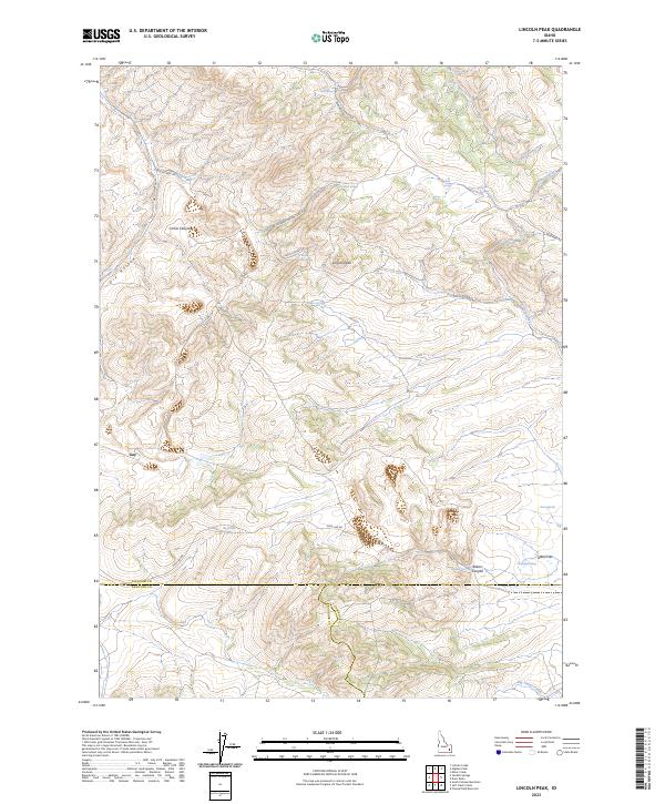
1981 Lincoln Peak
Bingham County, ID
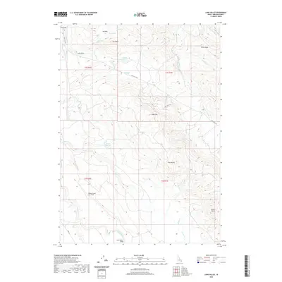
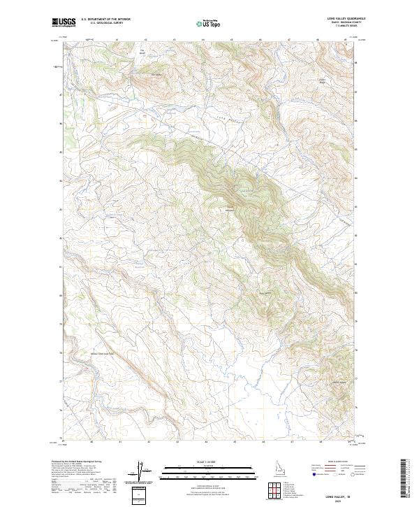
1981 Long Valley
Bingham County, ID
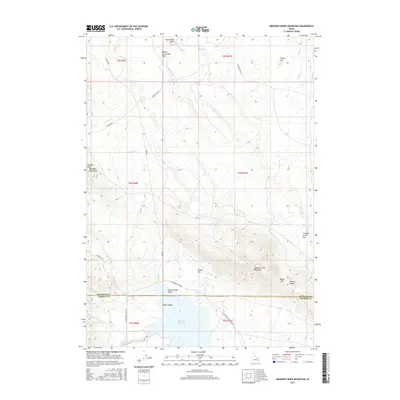
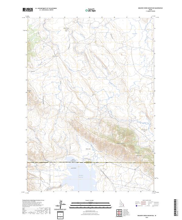
1981 Meadow Creek Mtn
Bingham County, ID
1981 Miner Creek
Bingham County, ID
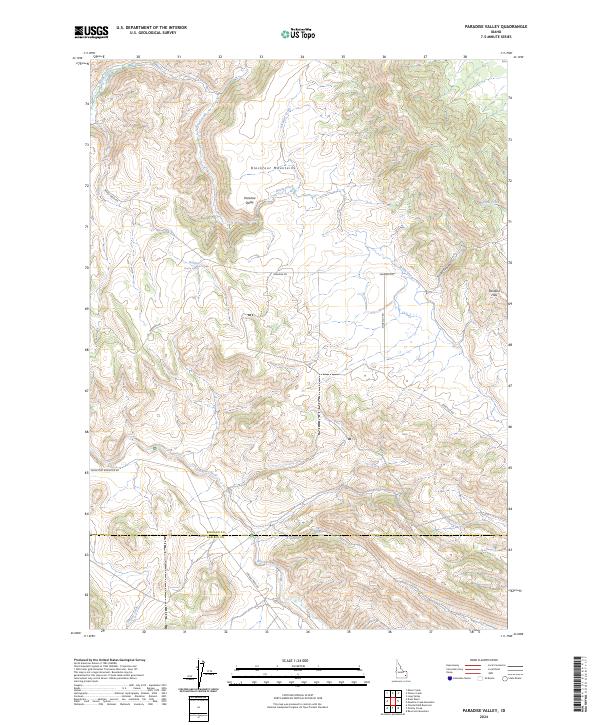
1981 Paradise Valley
Bingham County, ID
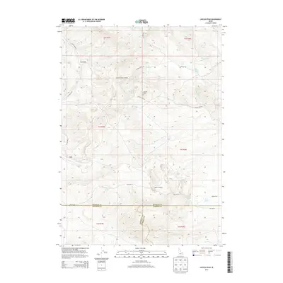
1981 Poison Creek
Bingham County, ID
1981 Wolverine
Bingham County, ID
1981 Yandell Springs
Bingham County, ID
1998 Goshen
Bingham County, ID
1998 Higham Peak
Bingham County, ID
1998 Lincoln Creek
Bingham County, ID
2010 American Falls NW
Bingham County, ID
2010 Baldy Knoll
Bingham County, ID
2010 Big Fill Reservoir
Bingham County, ID
2010 Bone
Bingham County, ID
2010 Buckskin Basin
Bingham County, ID
2010 Coffee Point
Bingham County, ID
2010 Coffee Point NE
Bingham County, ID
2010 Coffee Point SW
Bingham County, ID
2010 Dunn Basin
Bingham County, ID
2010 Goshen
Bingham County, ID
2010 Higham Peak
Bingham County, ID
2010 Lava Lake Reservoir
Bingham County, ID
2010 Lincoln Creek
Bingham County, ID
2010 Lincoln Peak
Bingham County, ID
2010 Little Butte
Bingham County, ID
2010 Little Butte SW
Bingham County, ID
2010 Long Valley
Bingham County, ID
2010 Meadow Creek Mountain
Bingham County, ID
2010 Middle Butte
Bingham County, ID
2010 Miner Creek
Bingham County, ID
2010 Olsen
Bingham County, ID
2010 Paradise Valley
Bingham County, ID
2010 Pingree
Bingham County, ID
2010 Poison Creek
Bingham County, ID
2010 Rock Butte
Bingham County, ID
2010 Rose
Bingham County, ID
2010 Springfield
Bingham County, ID
2010 Springfield NW
Bingham County, ID
2010 Taber
Bingham County, ID
2010 Taber NE
Bingham County, ID
2010 Yandell Springs
Bingham County, ID
2011 Wolverine
Bingham County, ID
2013 American Falls NW
Bingham County, ID
2013 Baldy Knoll
Bingham County, ID
2013 Big Fill Reservoir
Bingham County, ID
2013 Bone
Bingham County, ID
2013 Buckskin Basin
Bingham County, ID
2013 Coffee Point
Bingham County, ID
2013 Coffee Point NE
Bingham County, ID
2013 Coffee Point SW
Bingham County, ID
2013 Dunn Basin
Bingham County, ID
2013 Goshen
Bingham County, ID
2013 Higham Peak
Bingham County, ID
2013 Lava Lake Reservoir
Bingham County, ID
2013 Lincoln Creek
Bingham County, ID
2013 Lincoln Peak
Bingham County, ID
2013 Little Butte
Bingham County, ID
2013 Little Butte SW
Bingham County, ID
2013 Long Valley
Bingham County, ID
2013 Meadow Creek Mountain
Bingham County, ID
2013 Middle Butte
Bingham County, ID
2013 Miner Creek
Bingham County, ID
2013 Olsen
Bingham County, ID
2013 Paradise Valley
Bingham County, ID
2013 Pingree
Bingham County, ID
2013 Poison Creek
Bingham County, ID
2013 Rock Butte
Bingham County, ID
2013 Rose
Bingham County, ID
2013 Springfield
Bingham County, ID
2013 Springfield NW
Bingham County, ID
2013 Taber
Bingham County, ID
2013 Taber NE
Bingham County, ID
2013 Wolverine
Bingham County, ID
2013 Yandell Springs
Bingham County, ID
2017 American Falls NW
Bingham County, ID
2017 Baldy Knoll
Bingham County, ID
2017 Big Fill Reservoir
Bingham County, ID

2017 Bone
Bingham County, ID
2017 Buckskin Basin
Bingham County, ID
2017 Coffee Point
Bingham County, ID
2017 Coffee Point NE
Bingham County, ID
2017 Coffee Point SW
Bingham County, ID
2017 Dunn Basin
Bingham County, ID
2017 Goshen
Bingham County, ID
2017 Higham Peak
Bingham County, ID
2017 Lava Lake Reservoir
Bingham County, ID
2017 Lincoln Creek
Bingham County, ID
2017 Lincoln Peak
Bingham County, ID
2017 Little Butte
Bingham County, ID
2017 Little Butte SW
Bingham County, ID
2017 Long Valley
Bingham County, ID
2017 Meadow Creek Mountain
Bingham County, ID
2017 Middle Butte
Bingham County, ID
2017 Miner Creek
Bingham County, ID
2017 Olsen
Bingham County, ID
2017 Paradise Valley
Bingham County, ID
2017 Pingree
Bingham County, ID
2017 Poison Creek
Bingham County, ID
2017 Rock Butte
Bingham County, ID
2017 Rose
Bingham County, ID
2017 Springfield
Bingham County, ID
2017 Springfield NW
Bingham County, ID

2017 Taber
Bingham County, ID
2017 Taber NE
Bingham County, ID
2017 Wolverine
Bingham County, ID
2017 Yandell Springs
Bingham County, ID
2020 American Falls NW
Bingham County, ID
2020 Baldy Knoll
Bingham County, ID
2020 Big Fill Reservoir
Bingham County, ID

2020 Bone
Bingham County, ID
2020 Buckskin Basin
Bingham County, ID
2020 Coffee Point
Bingham County, ID
2020 Coffee Point NE
Bingham County, ID
2020 Coffee Point SW
Bingham County, ID
2020 Dunn Basin
Bingham County, ID
2020 Goshen
Bingham County, ID
2020 Higham Peak
Bingham County, ID
2020 Lava Lake Reservoir
Bingham County, ID
2020 Lincoln Creek
Bingham County, ID
2020 Lincoln Peak
Bingham County, ID
2020 Little Butte
Bingham County, ID
2020 Little Butte SW
Bingham County, ID
2020 Long Valley
Bingham County, ID
2020 Meadow Creek Mountain
Bingham County, ID
2020 Middle Butte
Bingham County, ID
2020 Miner Creek
Bingham County, ID
2020 Olsen
Bingham County, ID
2020 Paradise Valley
Bingham County, ID

2020 Pingree
Bingham County, ID
2020 Poison Creek
Bingham County, ID
2020 Rock Butte
Bingham County, ID
2020 Rose
Bingham County, ID
2020 Springfield
Bingham County, ID
2020 Springfield NW
Bingham County, ID
2020 Taber
Bingham County, ID
2020 Taber NE
Bingham County, ID
2020 Wolverine
Bingham County, ID
2020 Yandell Springs
Bingham County, ID
2023 American Falls NW
Bingham County, ID
2023 Baldy Knoll
Bingham County, ID
2023 Big Fill Reservoir
Bingham County, ID
2023 Bone
Bingham County, ID
2023 Buckskin Basin
Bingham County, ID
2023 Coffee Point
Bingham County, ID
2023 Coffee Point NE
Bingham County, ID
2023 Coffee Point SW
Bingham County, ID
2023 Goshen
Bingham County, ID
2023 Lava Lake Reservoir
Bingham County, ID
2023 Lincoln Creek
Bingham County, ID
2023 Lincoln Peak
Bingham County, ID
2023 Little Butte
Bingham County, ID
2023 Little Butte SW
Bingham County, ID
2023 Long Valley
Bingham County, ID
2023 Middle Butte
Bingham County, ID
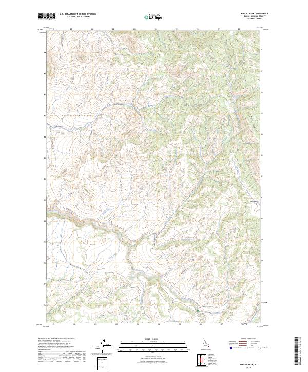
2023 Miner Creek
Bingham County, ID
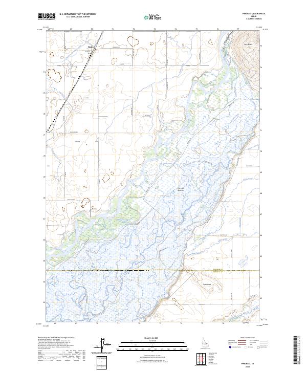
2023 Pingree
Bingham County, ID
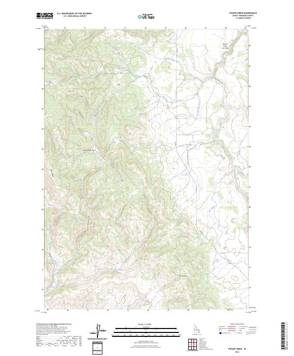
2023 Poison Creek
Bingham County, ID
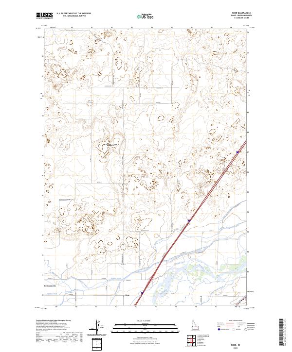
2023 Rose
Bingham County, ID
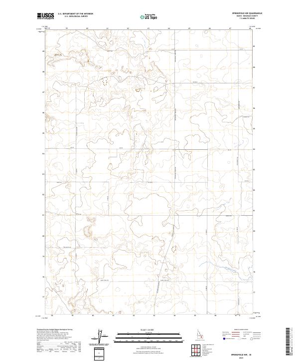
2023 Springfield NW
Bingham County, ID
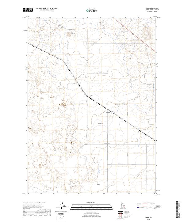
2023 Taber
Bingham County, ID
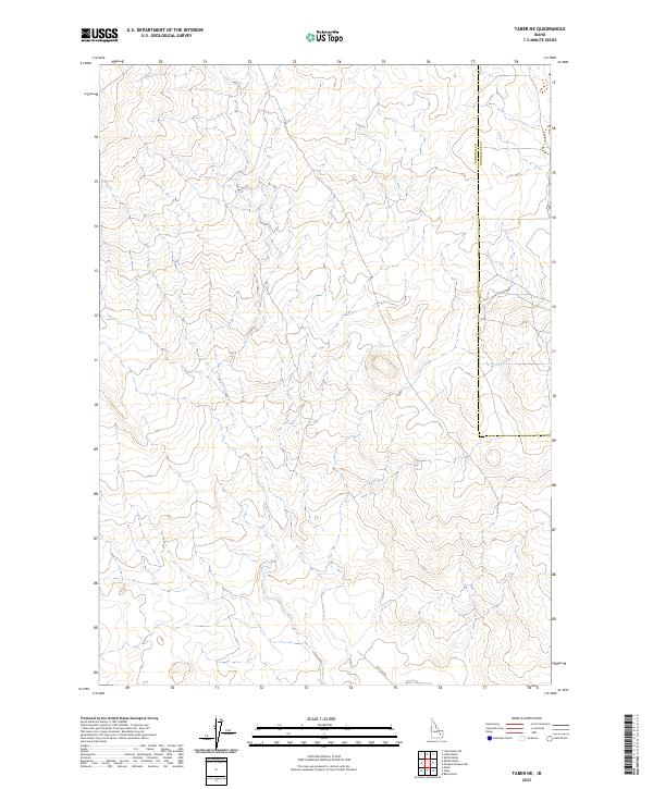
2023 Taber NE
Bingham County, ID
2023 Wolverine
Bingham County, ID
2023 Yandell Springs
Bingham County, ID
2024 Dunn Basin
Bingham County, ID
2024 Higham Peak
Bingham County, ID
2024 Meadow Creek Mountain
Bingham County, ID
2024 Olsen
Bingham County, ID
2024 Paradise Valley
Bingham County, ID
2024 Rock Butte
Bingham County, ID
2024 Springfield
Bingham County, ID