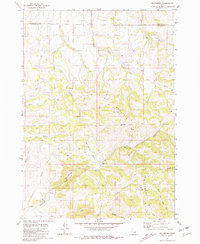
1981 Map of Wolverine
USGS Topo · Published 1981About this map
Taylor Mountain and the surrounding high country of the Blackfoot Mts define this corner of the Idaho landscape in the early 1980s. The topography is deeply carved by drainage networks, including Wolverine Creek, Taylor Creek, and Henry Creek, which dictate the local travel patterns through the canyons. This map captures a rural environment focused on natural resource management and infrastructure, evidenced by a remote Radio Facility and a Storage Bin located near the headwaters of Dry Fork Henry Creek. Significant geological and geographical landmarks like The Narrows and the Saw Log Basin show the complexity of the terrain as it straddles the Bonneville Co Bingham Co line. Numerous springs dot the slopes, highlighting the essential water sources that have historically supported seasonal activity in high-elevation basins like Wolverine Basin.
Find a feature on this map
23 named features on this map. Tap any name to fly to it.
Don’t see what you’re looking for? This feature index may not catch every label — zoom into the map to look around manually.
Map Details
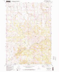
Editions of this 1981 Wolverine Map
2 editions found
Other maps of this area

1918 · Paradise Valley
USGS Topo · 1:62,500

1924 · Ammon
USGS Topo · 1:62,500

1948 · Idaho Falls South
USGS Topo · 1:24,000

1950 · Idaho Falls South
USGS Topo · 1:24,000

1950 · Goshen
USGS Topo · 1:24,000

1951 · Higham Peak
USGS Topo · 1:24,000

1952 · Goshen
USGS Topo · 1:24,000

1955 · Yandell Springs
USGS Topo · 1:62,500

1955 · Idaho Falls
USGS Topo · 1:250,000

1955 · Driggs
USGS Topo · 1:250,000