
1957 Map of Wolverine
USGS Topo · Published 1958About this map
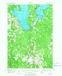
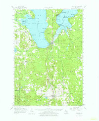
The New York Central railroad corridor dictates the settlement pattern of this northern Michigan landscape, linking the village of Wolverine to the southern shores of Burt Lake and Mullett Lake. Throughout the Hardwood State Forest, the map documents a transition from early 20th-century rural infrastructure to a mid-century recreational economy. The presence of several formerly active sites, such as the Ohioville Sch and School No 1, suggests shifting populations as smaller settlements like Rondo and Beebe evolved. Local landmarks like Griswold Mountain and the Wolverine Lookout Tower overlook a dense network of water bodies, including the winding Sturgeon River and the secluded Twin Lakes. Genealogists will find value in the precise locations of the Oak Hill and Koehler Cem cemeteries, while aviation history is preserved at the Campbell Landing Field.
Find a feature on this map
77 named features on this map. Tap any name to fly to it.
Don’t see what you’re looking for? This feature index may not catch every label — zoom into the map to look around manually.
Map Details
Editions of this 1957 Wolverine Map
3 editions found
Other maps of this area

1954 · Gaylord
USGS Topo · 1:62,500

1954 · Hetherton
USGS Topo · 1:62,500

1955 · Cheboygan
USGS Topo · 1:250,000

1957 · Tower
USGS Topo · 1:62,500

1957 · Cheboygan
USGS Topo · 1:62,500

1957 · Mullett Lake
USGS Topo · 1:62,500

1958 · Cheboygan
USGS Topo · 1:250,000

1958 · Pellston
USGS Topo · 1:62,500

1958 · Petoskey
USGS Topo · 1:62,500

1961 · Boyne Falls
USGS Topo · 1:62,500