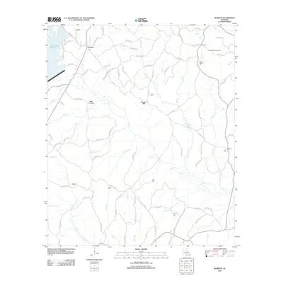
2012 Map of Womack
USGS Topo · Published 2012About this map
Womack and the surrounding Jackson Parish countryside are defined by a complex network of creeks and small parish roads that weave through the pine-covered hills. This area, dominated by the Caney Creek Reservoir in the northwest, retains a rural character focused on small settlements and timber-related history. Notable family landmarks and community centers include Hoods Mill and the nearby Hoods Mill Lookout Tower, which highlight the region's long-standing connection to local industry and fire watch efforts.
Find a feature on this map
101 named features on this map. Tap any name to fly to it.
Don’t see what you’re looking for? This feature index may not catch every label — zoom into the map to look around manually.
Map Details
Editions of this 2012 Womack Map
This is the sole edition of this map. No revisions or reprints were ever made.
Other maps of this area

1949 · Jonesboro
USGS Topo · 1:62,500

1950 · Jonesboro
USGS Topo · 1:62,500

1953 · Chatham
USGS Topo · 1:62,500

1953 · Hodge
USGS Topo · 1:62,500

1954 · Sikes
USGS Topo · 1:62,500

1955 · Shreveport
USGS Topo · 1:250,000

1956 · Shreveport
USGS Topo · 1:250,000

1982 · Chatham
USGS Topo · 1:24,000

1982 · Chatham SE
USGS Topo · 1:24,000

1984 · Shreveport
USGS Topo · 1:250,000