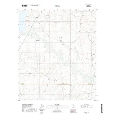
2020 Map of Womack
USGS Topo · Published 2020About this map
Womack sits at the northern edge of this North Louisiana landscape, where the headwaters of numerous creeks begin their descent toward the Jackson Parish and Winn Parish line. The area is defined by a dense network of small waterways, such as Cane Mill Br, Honeycutt Br, and Indian Cr, which carve through the timberlands. Small settlements like Gulf Crossing and Lyons are connected by a web of parish roads, including Zoar Rd and Goss Rd, reflecting the rural development of the region.
Find a feature on this map
81 named features on this map. Tap any name to fly to it.
Don’t see what you’re looking for? This feature index may not catch every label — zoom into the map to look around manually.
Map Details
Editions of this 2020 Womack Map
This is the sole edition of this map. No revisions or reprints were ever made.
Other maps of this area

1949 · Jonesboro
USGS Topo · 1:62,500

1950 · Jonesboro
USGS Topo · 1:62,500

1953 · Chatham
USGS Topo · 1:62,500

1953 · Hodge
USGS Topo · 1:62,500

1954 · Sikes
USGS Topo · 1:62,500

1955 · Shreveport
USGS Topo · 1:250,000

1956 · Shreveport
USGS Topo · 1:250,000

1982 · Chatham
USGS Topo · 1:24,000

1982 · Chatham SE
USGS Topo · 1:24,000

1984 · Shreveport
USGS Topo · 1:250,000