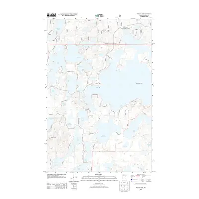
2013 Map of Woman Lake
USGS Topo · Published 2013About this map
Chippewa National Forest encompasses the northern portion of this landscape, where a dense network of glacial lakes and waterways defines the character of Cass County. Central to the area is Woman Lake, a sprawling water body connected to Little Woman Lake and the Boy River. This aquatic system is part of a complex drainage pattern that includes dozens of smaller basins such as Moccasin Lake, McKeown Lake, and Wabedo Lake.
Find a feature on this map
58 named features on this map. Tap any name to fly to it.
Don’t see what you’re looking for? This feature index may not catch every label — zoom into the map to look around manually.
Map Details
Editions of this 2013 Woman Lake Map
This is the sole edition of this map. No revisions or reprints were ever made.
Other maps of this area

1953 · Brainerd
USGS Topo · 1:250,000

1954 · Bemidji
USGS Topo · 1:250,000

1957 · Brainerd
USGS Topo · 1:250,000

1957 · Bemidji
USGS Topo · 1:250,000

1958 · Bemidji
USGS Topo · 1:250,000

1958 · Brainerd
USGS Topo · 1:250,000

1965 · Brainerd
USGS Topo · 1:250,000
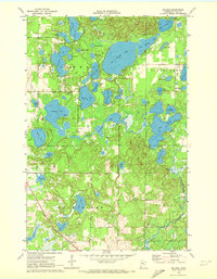
1970 · Mildred
USGS Topo · 1:24,000

1970 · Webb Lake
USGS Topo · 1:24,000

1970 · Woman Lake
USGS Topo · 1:24,000