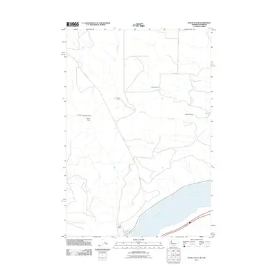
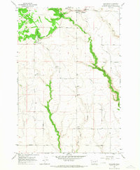
2011 Map of Wood Gulch
USGS Topo · Published 2011About this map
Columbia River shoreline dominates the southern edge of this Klickitat County landscape, where the terrain rises sharply from the riverbanks into a network of canyons and upland ranches. The topography is defined by significant drainage systems including Pine Creek, Coyote Creek, and Sixprong Creek, which carve through the high ground. Named family operations like the Goodknight Ranch and Whitmore Ranch are connected by a sparse grid of rural routes such as East Rd and Roosevelt Grade Rd. Near the water's edge, the small settlement at Wood Gulch sits adjacent to Railroad Ave, reflecting the historic importance of the river corridor for transportation. Further inland, distinctive geographical markers like Big Horn Canyon and Juniper Canyon provide clear reference points for the transition from the river valley to the expansive northern plateau.
Find a feature on this map
17 named features on this map. Tap any name to fly to it.
Don’t see what you’re looking for? This feature index may not catch every label — zoom into the map to look around manually.
Map Details
Editions of this 2011 Wood Gulch Map
This is the sole edition of this map. No revisions or reprints were ever made.
Other maps of this area

1916 · Arlington
USGS Topo · 1:125,000

1953 · The Dalles
USGS Topo · 1:250,000

1956 · The Dalles
USGS Topo · 1:250,000

1957 · The Dalles
USGS Topo · 1:250,000
1962 · Douty Canyon
USGS Topo · 1:24,000

1962 · Heppner Junction
USGS Topo · 1:24,000
1962 · Crider Valley
USGS Topo · 1:24,000

1962 · Wood Gulch
USGS Topo · 1:24,000
1964 · Horn Butte
USGS Topo · 1:24,000
1965 · Bickleton
USGS Topo · 1:24,000