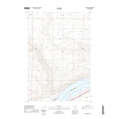
2020 Map of Wood Gulch
USGS Topo · Published 2020About this map
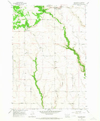
Lake Umatilla and the Columbia River dominate the southern margin of this landscape, defining the state border between Washington and Oregon. The terrain is characterized by a series of deep drainage systems that carve through the high plateaus of Klickitat County, including Big Horn Canyon, Juniper Canyon, and the prominent Wood Gulch. These natural features dictate the local transportation network, with routes like Middle Rd and East Rd following the high ridges between the canyons.
Find a feature on this map
25 named features on this map. Tap any name to fly to it.
Don’t see what you’re looking for? This feature index may not catch every label — zoom into the map to look around manually.
Map Details
Editions of this 2020 Wood Gulch Map
This is the sole edition of this map. No revisions or reprints were ever made.
Other maps of this area

1916 · Arlington
USGS Topo · 1:125,000

1953 · The Dalles
USGS Topo · 1:250,000

1956 · The Dalles
USGS Topo · 1:250,000

1957 · The Dalles
USGS Topo · 1:250,000
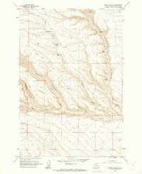
1962 · Douty Canyon
USGS Topo · 1:24,000

1962 · Heppner Junction
USGS Topo · 1:24,000
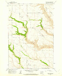
1962 · Crider Valley
USGS Topo · 1:24,000

1962 · Wood Gulch
USGS Topo · 1:24,000
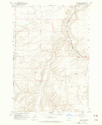
1964 · Horn Butte
USGS Topo · 1:24,000
1965 · Bickleton
USGS Topo · 1:24,000