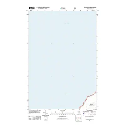
2011 Map of Wood Island SE
USGS Topo · Published 2011About this map
Lake Superior dominates this nautical and shoreline perspective of the Alger County coast, capturing a nearly pristine stretch of the Upper Peninsula’s northern edge. The map focuses on the interface between the open water and the shoreline of Munising Township, where the terrain rises to meet the Great Lake. A primary geographic highlight is the presence of Bridalveil Falls, a notable coastal feature where water meets the rocky perimeter of the lake. This 2011 edition, produced by the U.S. Geological Survey, reflects the modern topography of the area, preserving the exact coordinates of the shoreline and its hydrological features for researchers and local historians.
Find a feature on this map
2 named features on this map. Tap any name to fly to it.
Don’t see what you’re looking for? This feature index may not catch every label — zoom into the map to look around manually.
Map Details
Editions of this 2011 Wood Island SE Map
This is the sole edition of this map. No revisions or reprints were ever made.
Other maps of this area

1958 · Munising
USGS Topo · 1:62,500

1958 · Wood Island
USGS Topo · 1:62,500

1958 · Shingleton
USGS Topo · 1:62,500

1958 · Grand Portal Point
USGS Topo · 1:62,500

1958 · Marquette
USGS Topo · 1:250,000

1960 · Marquette
USGS Topo · 1:250,000

1961 · Marquette
USGS Topo · 1:250,000

1968 · Marquette
USGS Topo · 1:250,000

1983 · Munising
USGS Topo · 1:100,000
1983 · Grand Portal Point
USGS Topo · 1:24,000