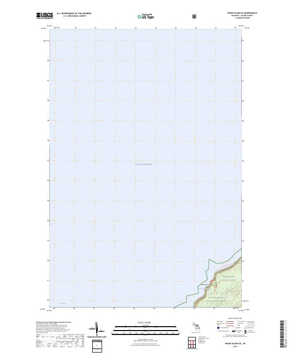
2023 Map of Wood Island SE
USGS Topo · Published 2023About this map
Lake Superior dominates this coastal perspective of the Upper Peninsula shoreline, where the waters of Trout Bay meet the protected landscapes of Alger County. The map focuses on the eastern edge of the quadrangle, where the Pictured Rocks National Lakeshore and Hiawatha National Forest preserve the transition from deep water to timbered heights. A key segment of the North Country National Scenic Trl winds along the coastline, offering a contemporary record of the recreational infrastructure that defines the modern character of the Pictured Rocks region. The absence of industrial or dense residential development underscores the area's ongoing status as a managed wilderness and federal preserve.
Find a feature on this map
9 named features on this map. Tap any name to fly to it.
Don’t see what you’re looking for? This feature index may not catch every label — zoom into the map to look around manually.
Map Details
Editions of this 2023 Wood Island SE Map
This is the sole edition of this map. No revisions or reprints were ever made.
Other maps of this area

1958 · Munising
USGS Topo · 1:62,500

1958 · Wood Island
USGS Topo · 1:62,500

1958 · Shingleton
USGS Topo · 1:62,500

1958 · Grand Portal Point
USGS Topo · 1:62,500

1958 · Marquette
USGS Topo · 1:250,000

1960 · Marquette
USGS Topo · 1:250,000

1961 · Marquette
USGS Topo · 1:250,000

1968 · Marquette
USGS Topo · 1:250,000

1983 · Munising
USGS Topo · 1:100,000
1983 · Grand Portal Point
USGS Topo · 1:24,000