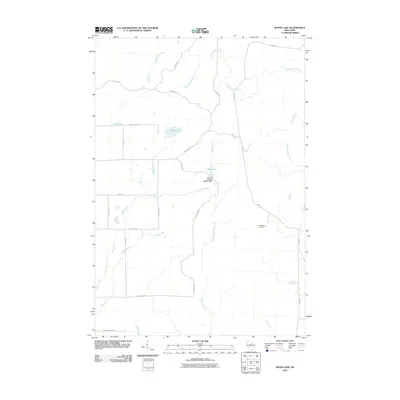
2010 Map of Wood Lake
USGS Topo · Published 2010About this map
Wood Lake and the surrounding Lincoln County timberlands are defined by an intricate network of waterways and managed forests as they appeared in the early 21st century. The landscape is characterized by the convergence of several named streams, including Gus Johnson Creek and the North Fork Copper River, which feed into larger systems like the New Wood Creek. A notable man-made feature is the Camp 8 Flowage 3WR341 Dam, which creates the 1 Reservoir north of the central wooded tracts.
Find a feature on this map
29 named features on this map. Tap any name to fly to it.
Don’t see what you’re looking for? This feature index may not catch every label — zoom into the map to look around manually.
Map Details
Editions of this 2010 Wood Lake Map
This is the sole edition of this map. No revisions or reprints were ever made.
Other maps of this area

1902 · Marathon
USGS Topo · 1:125,000

1945 · Rib Lake
USGS Topo · 1:48,000

1947 · Rib Lake
USGS Topo · 1:48,000

1949 · Rib Lake
USGS Topo · 1:48,000

1950 · Spirit Falls
USGS Topo · 1:48,000

1951 · Athens
USGS Topo · 1:48,000

1951 · Hamburg
USGS Topo · 1:48,000

1952 · Spirit Falls
USGS Topo · 1:48,000

1953 · Rice Lake
USGS Topo · 1:250,000

1954 · Iron Mountain
USGS Topo · 1:250,000