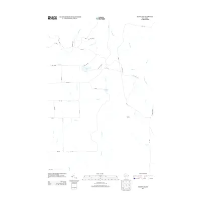
2013 Map of Wood Lake
USGS Topo · Published 2013About this map
The Ice Age Natl Scenic Trl winds through this northern landscape, following the complex glacial topography of Lincoln County. This 2013 survey highlights a transition from the dense drainage networks of Gus Johnson Cr and New Wood Cr to more stagnant water features like Wood Lake and Mud Lake. The presence of New Wood Junction and the artificial impoundment at Camp Eight Flowage reflects the historical management of these waterways and timberlands. Transport in the region is defined by a grid of rural routes including Tower Rd and Wilderness Ave, which provide access to the various forks of the N Fork Copper River and the small tributaries like Porky Cr that feed into the larger river systems of the Wisconsin Northwoods.
Find a feature on this map
29 named features on this map. Tap any name to fly to it.
Don’t see what you’re looking for? This feature index may not catch every label — zoom into the map to look around manually.
Map Details
Editions of this 2013 Wood Lake Map
This is the sole edition of this map. No revisions or reprints were ever made.
Other maps of this area

1902 · Marathon
USGS Topo · 1:125,000

1945 · Rib Lake
USGS Topo · 1:48,000

1947 · Rib Lake
USGS Topo · 1:48,000

1949 · Rib Lake
USGS Topo · 1:48,000

1950 · Spirit Falls
USGS Topo · 1:48,000

1951 · Athens
USGS Topo · 1:48,000

1951 · Hamburg
USGS Topo · 1:48,000

1952 · Spirit Falls
USGS Topo · 1:48,000

1953 · Rice Lake
USGS Topo · 1:250,000

1954 · Iron Mountain
USGS Topo · 1:250,000