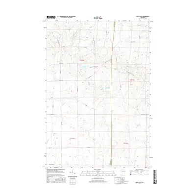
2015 Map of Wood Lake
USGS Topo · Published 2015About this map
Ice Age National Scenic Trail winds through the glaciated terrain of the Northwoods, crossing the border between Taylor and Lincoln counties. This landscape is defined by its complex hydrography, featuring numerous kettle lakes and wetland systems like Mud Lake and the prominent Wood Lake. The presence of Camp Eight Flowage along Wood Cr suggests managed water levels in a region historically significant for timber and early logging camps. A dense network of forest roads and trails, such as Bear Ave and Wilderness Ave, provides access to the headwaters of the S Fork Copper River and New Wood Cr. The map details a transition from dense woodland to riparian corridors along streams like Porky Cr and E Lemke Cr, illustrating the wilder, undeveloped character of this portion of northern Wisconsin.
Find a feature on this map
39 named features on this map. Tap any name to fly to it.
Don’t see what you’re looking for? This feature index may not catch every label — zoom into the map to look around manually.
Map Details
Editions of this 2015 Wood Lake Map
This is the sole edition of this map. No revisions or reprints were ever made.
Other maps of this area

1902 · Marathon
USGS Topo · 1:125,000

1945 · Rib Lake
USGS Topo · 1:48,000

1947 · Rib Lake
USGS Topo · 1:48,000

1949 · Rib Lake
USGS Topo · 1:48,000

1950 · Spirit Falls
USGS Topo · 1:48,000

1951 · Athens
USGS Topo · 1:48,000

1951 · Hamburg
USGS Topo · 1:48,000

1952 · Spirit Falls
USGS Topo · 1:48,000

1953 · Rice Lake
USGS Topo · 1:250,000

1954 · Iron Mountain
USGS Topo · 1:250,000