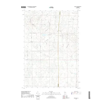
2018 Map of Wood Lake
USGS Topo · Published 2018About this map
The Ice Age National Scenic Trail winds through a densely wooded and wetland-rich landscape on the border of Taylor and Lincoln counties. This northern Wisconsin terrain is defined by its complex glacial hydrology, where water bodies like Wood Lake, Mud Lake, and the Camp Eight Flowage are interconnected by a web of small streams including New Wood Cr and Porky Cr. The map reveals a remote area organized by a grid of rural roads such as Wilderness Ave and Camp 8 Rd, which provide access to the various flowages and river forks. The drainage patterns of the N Fork Copper River and Old Johnson Cr highlight the low-lying, marshy character of the region, making this a significant document for understanding the modern conservation and recreation corridors established along the ancient glacial path.
Find a feature on this map
34 named features on this map. Tap any name to fly to it.
Don’t see what you’re looking for? This feature index may not catch every label — zoom into the map to look around manually.
Map Details
Editions of this 2018 Wood Lake Map
This is the sole edition of this map. No revisions or reprints were ever made.
Other maps of this area

1902 · Marathon
USGS Topo · 1:125,000

1945 · Rib Lake
USGS Topo · 1:48,000

1947 · Rib Lake
USGS Topo · 1:48,000

1949 · Rib Lake
USGS Topo · 1:48,000

1950 · Spirit Falls
USGS Topo · 1:48,000

1951 · Athens
USGS Topo · 1:48,000

1951 · Hamburg
USGS Topo · 1:48,000

1952 · Spirit Falls
USGS Topo · 1:48,000

1953 · Rice Lake
USGS Topo · 1:250,000

1954 · Iron Mountain
USGS Topo · 1:250,000