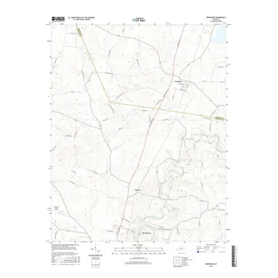
2016 Map of Woodburn
USGS Topo · Published 2016About this map
Woodburn and the northern outskirts of Franklin anchor this landscape along the border of Warren and Simpson Counties. The terrain is defined by the winding course of the West Fork Drakes Creek and the intermittent drainage of Sinking Cr. This area reflects a long-established agricultural and transit corridor, where major routes like Bowling Green Rd intersect a dense network of rural lanes named for local families and landmarks. The presence of Vances Mill Rd and Ditmore Ford Rd points to historic crossing points and water-powered industry that once supported these communities. Researchers will find the small settlement of Salmons situated between the larger hubs, while the Arnemann Farms Airport provides a modern logistical landmark amidst the traditional farmsteads and cemeteries like those found along Robey Cemetery Rd.
Find a feature on this map
50 named features on this map. Tap any name to fly to it.
Don’t see what you’re looking for? This feature index may not catch every label — zoom into the map to look around manually.
Map Details
Editions of this 2016 Woodburn Map
This is the sole edition of this map. No revisions or reprints were ever made.
Other maps of this area

1921 · Bowling Green
USGS Topo · 1:62,500

1923 · Bowling Green
USGS Topo · 1:62,500

1928 · Adolphus
USGS Topo · 1:48,000

1931 · Adolphus
USGS Topo · 1:62,500

1942 · Gallatin
USGS Topo · 1:100,000

1951 · Woodburn
USGS Topo · 1:24,000

1951 · Franklin
USGS Topo · 1:24,000

1951 · Prices Mill
USGS Topo · 1:24,000

1951 · Auburn
USGS Topo · 1:24,000

1951 · South Union
USGS Topo · 1:24,000