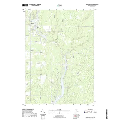
2019 Map of Wooden Shoe Village
USGS Topo · Published 2019About this map
Wooden Shoe Village serves as a focal point for this Gladwin County landscape, where the Tittabawassee River and its numerous tributaries dictate the local geography. The map documents a complex network of water management features, including the Babcock Drain, Oard Drain, and Le Cleary Drain, which support the low-lying terrain surrounding the river. Small residential clusters like White Star, Highwood, and Winegars are connected by a grid of local roads such as W Sun Oil Rd and W Winegars Rd, reflecting a rural Michigan settlement pattern defined by proximity to water and woods.
Find a feature on this map
84 named features on this map. Tap any name to fly to it.
Don’t see what you’re looking for? This feature index may not catch every label — zoom into the map to look around manually.
Map Details
Editions of this 2019 Wooden Shoe Village Map
This is the sole edition of this map. No revisions or reprints were ever made.
Other maps of this area

1954 · Traverse City
USGS Topo · 1:250,000

1954 · Midland
USGS Topo · 1:250,000

1958 · Traverse City
USGS Topo · 1:250,000

1958 · Midland
USGS Topo · 1:250,000

1959 · Midland
USGS Topo · 1:250,000

1966 · Midland
USGS Topo · 1:250,000

1968 · Sterling SW
USGS Topo · 1:24,000

1969 · Wagarville
USGS Topo · 1:24,000

1969 · Gladwin
USGS Topo · 1:24,000
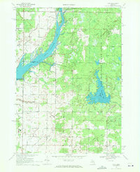
1969 · Hope
USGS Topo · 1:24,000