
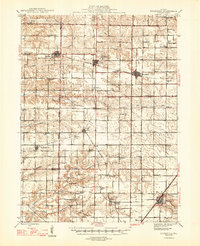
1947 Map of Woodhull
USGS Topo · Published 1947About this map
Agricultural lands and emerging coal resources define this 1947 landscape where the boundaries of Henry, Mercer, Knox, and Warren counties meet. The Chicago Burlington and Quincy railroad provides the primary industrial spine, linking settlements like Alpha, Woodhull, and Rio. A notable industrial landmark is the Alpha Coal Mine, positioned south of the town center, signaling the region's extraction history.
Find a feature on this map
66 named features on this map. Tap any name to fly to it.
Don’t see what you’re looking for? This feature index may not catch every label — zoom into the map to look around manually.
Map Details
Editions of this 1947 Woodhull Map
2 editions found
Other maps of this area

1912 · Milan
USGS Topo · 1:62,500

1921 · Monmouth
USGS Topo · 1:62,500

1923 · Monmouth
USGS Topo · 1:62,500

1923 · Alexis
USGS Topo · 1:62,500

1925 · Alexis
USGS Topo · 1:62,500

1925 · Galesburg
USGS Topo · 1:62,500

1927 · Galesburg
USGS Topo · 1:62,500

1931 · Galva
USGS Topo · 1:48,000

1934 · Geneseo
USGS Topo · 1:62,500

1937 · Orion
USGS Topo · 1:62,500