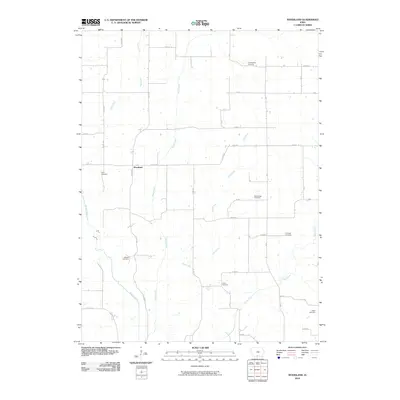
2010 Map of Woodland
USGS Topo · Published 2010About this map
The settlement of Woodland anchors this rural landscape in Decatur County, where a network of gravel roads and creek valleys defines the local geography. Several family-named burying grounds are scattered across the township, including Cunningham Cemetery in the north and Hayes Cemetery in the southeast, serving as significant landmarks for genealogical research. The drainage pattern is dominated by the Weldon River, which is fed by numerous tributaries such as Steel Creek, Turkey Run, and Hog Creek.
Find a feature on this map
35 named features on this map. Tap any name to fly to it.
Don’t see what you’re looking for? This feature index may not catch every label — zoom into the map to look around manually.
Map Details
Editions of this 2010 Woodland Map
This is the sole edition of this map. No revisions or reprints were ever made.
Other maps of this area

1934 · Humeston
USGS Topo · 1:48,000

1937 · Corydon
USGS Topo · 1:62,500

1954 · Centerville
USGS Topo · 1:250,000

1957 · Centerville
USGS Topo · 1:250,000

1958 · Centerville
USGS Topo · 1:250,000

1964 · Woodland
USGS Topo · 1:24,000

1964 · Pleasanton
USGS Topo · 1:24,000

1964 · Cleopatra
USGS Topo · 1:24,000

1964 · Leon
USGS Topo · 1:24,000

1964 · Clio
USGS Topo · 1:24,000