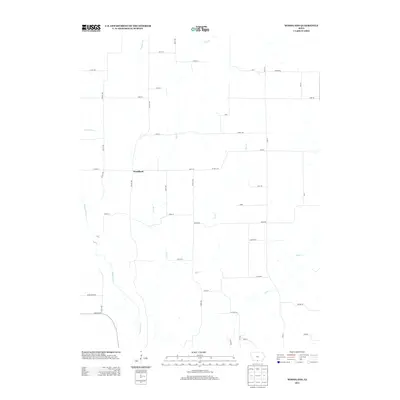
2013 Map of Woodland
USGS Topo · Published 2013About this map
Woodland and several other small named settlements such as Howe, Granger, and Fillmore define the rural character of this southern Iowa landscape. The terrain is structured by a series of north-south drainage patterns, most notably the Weldon River which winds along the western edge. These watercourses, including Turkey Run, Steel Cr, and Hog Cr, create a repetitive system of ridges and valleys that the local road network largely ignores, preferring a rigid sectional grid.
Find a feature on this map
45 named features on this map. Tap any name to fly to it.
Don’t see what you’re looking for? This feature index may not catch every label — zoom into the map to look around manually.
Map Details
Editions of this 2013 Woodland Map
This is the sole edition of this map. No revisions or reprints were ever made.
Other maps of this area

1934 · Humeston
USGS Topo · 1:48,000

1937 · Corydon
USGS Topo · 1:62,500

1954 · Centerville
USGS Topo · 1:250,000

1957 · Centerville
USGS Topo · 1:250,000

1958 · Centerville
USGS Topo · 1:250,000

1964 · Woodland
USGS Topo · 1:24,000

1964 · Pleasanton
USGS Topo · 1:24,000

1964 · Cleopatra
USGS Topo · 1:24,000

1964 · Leon
USGS Topo · 1:24,000

1964 · Clio
USGS Topo · 1:24,000