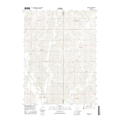
2015 Map of Woodland
USGS Topo · Published 2015About this map
Woodland sits within a landscape defined by the winding course of the Weldon River and several key tributaries. This 2015 U.S. Geological Survey representation of southern Iowa shows a network of named country roads, such as Co Rd R69 and Co Rd J46, that connect the region's agricultural homesteads. The topography is marked by notable drainage features including Steel Cr and Hog Cr, while Cedar Ridge provides a distinct change in elevation in the southern reaches of the map.
Find a feature on this map
40 named features on this map. Tap any name to fly to it.
Don’t see what you’re looking for? This feature index may not catch every label — zoom into the map to look around manually.
Map Details
Editions of this 2015 Woodland Map
This is the sole edition of this map. No revisions or reprints were ever made.
Other maps of this area

1934 · Humeston
USGS Topo · 1:48,000

1937 · Corydon
USGS Topo · 1:62,500

1954 · Centerville
USGS Topo · 1:250,000

1957 · Centerville
USGS Topo · 1:250,000

1958 · Centerville
USGS Topo · 1:250,000

1964 · Woodland
USGS Topo · 1:24,000

1964 · Pleasanton
USGS Topo · 1:24,000

1964 · Cleopatra
USGS Topo · 1:24,000

1964 · Leon
USGS Topo · 1:24,000

1964 · Clio
USGS Topo · 1:24,000