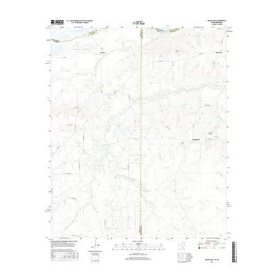
2016 Map of Woodland
USGS Topo · Published 2016About this map
Red River currents define the northern boundary of this landscape, where the borders of Lamar County, Red River County, and Oklahoma converge. The terrain is a network of water and memory, with Pine Creek and Little Pine Cr winding through the countryside toward Pecan Bayou. For genealogists and local historians, several burial grounds are preserved here, including Woodland Cem, Tinsley Cem, and Pine Hill Cem. These sites anchor the small communities of Woodland, Kanawha, and Faulkner. The area is also characterized by numerous private water bodies such as S David Ramsey Lake and Rogers Lake, indicating a land managed for both agriculture and recreation in this corner of Northeast Texas.
Find a feature on this map
43 named features on this map. Tap any name to fly to it.
Don’t see what you’re looking for? This feature index may not catch every label — zoom into the map to look around manually.
Map Details
Editions of this 2016 Woodland Map
This is the sole edition of this map. No revisions or reprints were ever made.
Other maps of this area

1951 · Slate Shoals
USGS Topo · 1:24,000

1951 · Frogville
USGS Topo · 1:24,000

1951 · Shoals
USGS Topo · 1:24,000

1951 · Kiomatia
USGS Topo · 1:24,000

1951 · Woodland
USGS Topo · 1:24,000

1951 · Manchester
USGS Topo · 1:24,000

1953 · Texarkana
USGS Topo · 1:250,000

1956 · Texarkana
USGS Topo · 1:250,000

1964 · Detroit
USGS Topo · 1:24,000

1964 · Bagwell
USGS Topo · 1:24,000