2023 Map of Woodland
USGS Topo · Published 2023About this map
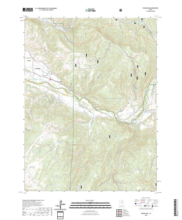
The Provo River defines the central corridor of this region, winding through a valley that serves as a boundary between the Wasatch National Forest to the north and the Uinta National Forest to the south. The small settlements of Woodland and Francis anchor the western edge, where residential development like Woodland Crest Rd and Highland Loop meets the rising terrain. Higher elevations are characterized by numerous named drainages and hollows, including Moon Canyon, Red Pine Canyon, and Herd Hollow.
Find a feature on this map
59 named features on this map. Tap any name to fly to it.
Don’t see what you’re looking for? This feature index may not catch every label — zoom into the map to look around manually.
Map Details
Editions of this 2023 Woodland Map
This is the sole edition of this map. No revisions or reprints were ever made.
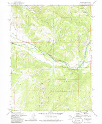
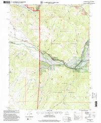
Historical Maps of Woodland Through Time
3 maps found