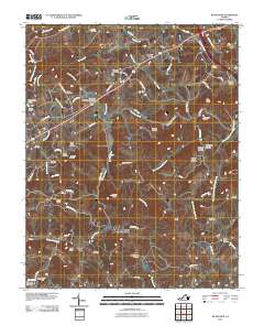
2010 Map of Woodlawn
USGS Topo · Published 2010About this map
Woodlawn serves as a central hub in this Virginia landscape, situated where Woodlawn Rd meets several local routes near the Fells Memorial Bridge. The area is defined by a high density of small family and community burial grounds, such as Williams-Jenkins Cemetery and Crooked Creek Cemetery, which offer significant value for genealogical research. The terrain is marked by prominent peaks including Walker Knob and Hanks Knob, as the land descends toward the Blue Ridge in the south. Drainage patterns are complex, with Crooked Creek and its many branches like the East Fork Crooked Creek winding through the countryside. Evidence of earlier commerce and rural centers remains at Browns Store, Gardner Mills, and Higgins Crossroads, providing a clear look at the historic settlement patterns of Carroll County.
Find a feature on this map
84 named features on this map. Tap any name to fly to it.
Don’t see what you’re looking for? This feature index may not catch every label — zoom into the map to look around manually.
Map Details
Editions of this 2010 Woodlawn Map
This is the sole edition of this map. No revisions or reprints were ever made.
Other maps of this area

1889 · Hillsville
USGS Topo · 1:125,000

1892 · Hillsville
USGS Topo · 1:125,000

1896 · Hillsville
USGS Topo · 1:125,000

1930 · Max Meadows
USGS Topo · 1:62,500

1931 · Galax
USGS Topo · 1:48,000

1933 · Galax
USGS Topo · 1:62,500

1953 · Winston-Salem
USGS Topo · 1:250,000

1955 · Winston-Salem
USGS Topo · 1:250,000

1956 · Macks Mountain
USGS Topo · 1:62,500

1957 · Mount Airy
USGS Topo · 1:62,500