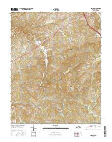
2016 Map of Woodlawn
USGS Topo · Published 2016About this map
The Carrollton Pike corridor serves as the central artery for this part of Carroll County, connecting the bustling seat at Hillsville with the rural community of Woodlawn. The terrain is defined by a dense network of high ridges and deep drainages, where landmarks like Walker Knob and Pike Knob overlook the winding paths of Crooked Creek and the W Fork Little Reed Island Cr. This modern survey reveals a landscape where late-twentieth-century residential growth along Airport Rd and Industrial Park Dr meets the enduring agricultural and family foundations of the region.
Find a feature on this map
138 named features on this map. Tap any name to fly to it.
Don’t see what you’re looking for? This feature index may not catch every label — zoom into the map to look around manually.
Map Details
Editions of this 2016 Woodlawn Map
This is the sole edition of this map. No revisions or reprints were ever made.
Other maps of this area

1889 · Hillsville
USGS Topo · 1:125,000

1892 · Hillsville
USGS Topo · 1:125,000

1896 · Hillsville
USGS Topo · 1:125,000

1930 · Max Meadows
USGS Topo · 1:62,500

1931 · Galax
USGS Topo · 1:48,000

1933 · Galax
USGS Topo · 1:62,500

1953 · Winston-Salem
USGS Topo · 1:250,000

1955 · Winston-Salem
USGS Topo · 1:250,000

1956 · Macks Mountain
USGS Topo · 1:62,500

1957 · Mount Airy
USGS Topo · 1:62,500